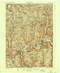
1926 Map of Deposit
USGS Topo · Published 1933About this map
West Branch Delaware River carves a deep valley through the southern tier of New York, anchoring a landscape defined by steep ridges and scattered dairy-farming hamlets in the 1920s. The village of Deposit sits as a primary transit hub where the Erie Railroad parallels the river, connecting remote outposts like Hale Eddy and Kerry Siding to the wider region. This era before major reservoir construction shows the river valley in its original configuration, with settlements like Cannonsville and Rock Royal still serving as active community centers.
Find a feature on this map
115 named features on this map. Tap any name to fly to it.
Don’t see what you’re looking for? This feature index may not catch every label — zoom into the map to look around manually.
Map Details
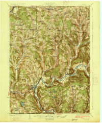
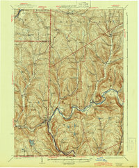
Editions of this 1926 Deposit Map
4 editions found

Other maps of this area

1902 · Coventry
USGS Topo · 1:62,500

1904 · Oxford
USGS Topo · 1:62,500

1905 · Nineveh
USGS Topo · 1:62,500

1915 · Oneonta
USGS Topo · 1:62,500

1915 · Unadilla
USGS Topo · 1:62,500

1918 · Unadilla
USGS Topo · 1:62,500

1918 · Oneonta
USGS Topo · 1:62,500

1920 · Long Eddy
USGS Topo · 1:62,500

1921 · Long Eddy
USGS Topo · 1:48,000

1923 · Long Eddy
USGS Topo · 1:62,500