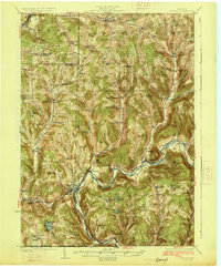
1926 Map of Deposit
USGS Topo · Published 1926About this map
The West Branch Delaware River carves a deep valley through this 1920s landscape, serving as the primary corridor for the Erie R R and the growth of Deposit. This survey documents a critical period before later water management projects altered the river valley, showing the village of Cannonsville and Granton in their original riverside positions. The surrounding highlands are densely populated with small agrarian communities and institutional landmarks, including numerous rural schoolhouses such as the uniquely named Slow and Easy School, Steam Mill School, and Hungry Hollow School. The map captures the complex township borders of Afton, Bainbridge, and Tompkins, where the rugged terrain of Michigan Hill and Speedwell Mtn dictated settlement patterns. From the resort atmosphere near Oquaga Lake to the scattered farms of McClure Settlement, the sheet provides an detailed look at the Catskill foothills' social geography.
Find a feature on this map
102 named features on this map. Tap any name to fly to it.
Don’t see what you’re looking for? This feature index may not catch every label — zoom into the map to look around manually.
Map Details
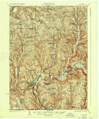
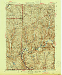
Editions of this 1926 Deposit Map
4 editions found

Other maps of this area

1902 · Coventry
USGS Topo · 1:62,500

1904 · Oxford
USGS Topo · 1:62,500

1905 · Nineveh
USGS Topo · 1:62,500

1915 · Oneonta
USGS Topo · 1:62,500

1915 · Unadilla
USGS Topo · 1:62,500

1918 · Unadilla
USGS Topo · 1:62,500

1918 · Oneonta
USGS Topo · 1:62,500

1920 · Long Eddy
USGS Topo · 1:62,500

1921 · Long Eddy
USGS Topo · 1:48,000

1923 · Long Eddy
USGS Topo · 1:62,500