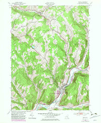
1943 Map of Delhi
USGS Topo · Published 1983About this map
The village of Delhi sits at the confluence of the West Branch Delaware River and the Little Delaware River, serving as a central hub for education and transport in Delaware County. This mid-century survey highlights the institutional presence of the Delaware Academy and Central Sch and the State University of New York, alongside industrial markers like the Pine Grove Quarry. The New York Ontario and Western railroad tracks follow the river's path, tracing the valley floor beneath the steep rises of Federal Hill and Hollister Hill. Historic overland travel is marked by the Catskill Turnpike and the Old Catskill Turnpike, which cross the high ground near Mt Meredith. Local genealogy is well-documented through numerous family and community burial grounds, including Post Cem, Woodland Cem, and the Old Scotch Cem south of the main settlement.
Find a feature on this map
41 named features on this map. Tap any name to fly to it.
Don’t see what you’re looking for? This feature index may not catch every label — zoom into the map to look around manually.
Map Details
Editions of this 1943 Delhi Map
3 editions found
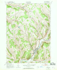
Other maps of this area

1909 · Delhi
USGS Topo · 1:62,500

1911 · Delhi
USGS Topo · 1:62,500

1915 · Oneonta
USGS Topo · 1:62,500

1918 · Oneonta
USGS Topo · 1:62,500

1922 · Andes
USGS Topo · 1:62,500

1923 · Walton
USGS Topo · 1:48,000

1924 · Andes
USGS Topo · 1:62,500

1925 · Walton
USGS Topo · 1:62,500

1943 · Delhi
USGS Topo · 1:24,000

1943 · Bloomville
USGS Topo · 1:24,000