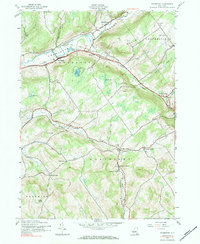
1943 Map of Davenport
USGS Topo · Published 1984About this map
Charlotte Creek and the New York Central railroad corridor define the rural character of this Delaware County landscape during the mid-1940s. The northern valley hosts the primary settlements of Davenport and Fergusonville, where the terrain begins to rise toward Quaker Hill. To the south, the township of Kortright reveals a more dispersed pattern of development, punctuated by small crossroads and rail-oriented hamlets such as Kortright Center and Kortright Station.
Find a feature on this map
39 named features on this map. Tap any name to fly to it.
Don’t see what you’re looking for? This feature index may not catch every label — zoom into the map to look around manually.
Map Details
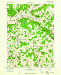
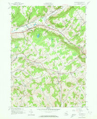
Editions of this 1943 Davenport Map
3 editions found
Other maps of this area

1904 · Richmondville
USGS Topo · 1:62,500

1904 · Hobart
USGS Topo · 1:62,500

1907 · Cooperstown
USGS Topo · 1:62,500

1909 · Cooperstown
USGS Topo · 1:62,500

1909 · Delhi
USGS Topo · 1:62,500

1911 · Delhi
USGS Topo · 1:62,500

1943 · Delhi
USGS Topo · 1:24,000

1943 · Milford
USGS Topo · 1:24,000

1943 · Bloomville
USGS Topo · 1:24,000

1943 · Charlotteville
USGS Topo · 1:24,000