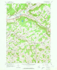
1943 Map of Davenport
USGS Topo · Published 1973About this map
Charlotte Valley defines the upper portion of this region, where the Charlotte Creek corridor serves as the primary artery for local settlement and travel. The mid-century landscape is marked by a network of rural hamlets including Fergusonville, Davenport, and Hoseaville, interspersed with the numbered district schoolhouses that anchored these farming communities. Toward the south, the terrain rises into the highlands of Kortright, where the village of Kortright Center and the nearby Kortright Station indicate the historical importance of the local rail and road connections.
Find a feature on this map
34 named features on this map. Tap any name to fly to it.
Don’t see what you’re looking for? This feature index may not catch every label — zoom into the map to look around manually.
Map Details
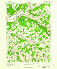
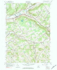
Editions of this 1943 Davenport Map
3 editions found
Other maps of this area

1904 · Richmondville
USGS Topo · 1:62,500

1904 · Hobart
USGS Topo · 1:62,500

1907 · Cooperstown
USGS Topo · 1:62,500

1909 · Cooperstown
USGS Topo · 1:62,500

1909 · Delhi
USGS Topo · 1:62,500

1911 · Delhi
USGS Topo · 1:62,500

1943 · Delhi
USGS Topo · 1:24,000

1943 · Milford
USGS Topo · 1:24,000

1943 · Bloomville
USGS Topo · 1:24,000

1943 · Charlotteville
USGS Topo · 1:24,000