
1943 Map of Charlotteville
USGS Topo · Published 1960About this map
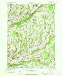
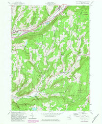
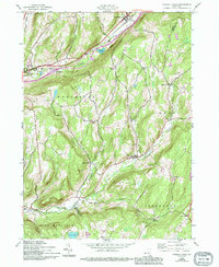
East Worcester and Worcester anchor the northern landscape of this mid-century survey, positioned along the vital Delaware and Hudson railroad line. The terrain is defined by a series of prominent rises including Pine Hill and Meade Hill, which overlook the winding course of Charlotte Creek. This period in Otsego County history shows a well-established network of rural schoolhouses, such as Mud Lake Sch, Center Valley Sch, and Clapper Hollow Sch, reflecting a distributed community structure typical of the Catskills foothills before the era of centralisation. The map also records numerous family and community burial grounds, from Maple Grove Cem in the north to Titus Hill Cem near the southern border at Harpersfield. Settlement patterns follow the valleys, with hamlets like Charlotteville and South Worcester serving as local hubs for the surrounding farmsteads and ridges.
Find a feature on this map
42 named features on this map. Tap any name to fly to it.
Don’t see what you’re looking for? This feature index may not catch every label — zoom into the map to look around manually.
Map Details
Editions of this 1943 Charlotteville Map
4 editions found
Other maps of this area

1904 · Richmondville
USGS Topo · 1:62,500

1904 · Hobart
USGS Topo · 1:62,500

1907 · Cooperstown
USGS Topo · 1:62,500

1909 · Cooperstown
USGS Topo · 1:62,500

1909 · Delhi
USGS Topo · 1:62,500

1911 · Delhi
USGS Topo · 1:62,500

1943 · South Valley
USGS Topo · 1:24,000

1943 · Westford
USGS Topo · 1:24,000
1943 · Schenevus
USGS Topo · 1:24,000

1943 · Summit
USGS Topo · 1:24,000