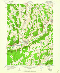
1943 Map of Schenevus
USGS Topo · Published 1960About this map
Schenevus and Worcester serve as the primary population centers in this rural stretch of Otsego County during the early 1940s. The landscape is defined by the narrow valleys of Schenevus Creek and Charlotte Creek, which dictated the path of human infrastructure. The Delaware and Hudson railroad follows the winding course of the northern creek, connecting the hamlets of Chaseville and Tuscan. The upland areas between the valleys are marked by a series of named hollows, such as Sperry Hollow and Smoky Hollow, and several numbered schoolhouses including School No 16 and School No 8, which reflect a decentralized rural education system still in place at the time. Higher elevations like Hooker Mountain are topped with landmarks like the Lookout Tower, providing vantage points over the numerous small family cemeteries, such as Bliven Cem and Simpson Cem, that dot the hillsides of Maryland and Davenport.
Find a feature on this map
38 named features on this map. Tap any name to fly to it.
Don’t see what you’re looking for? This feature index may not catch every label — zoom into the map to look around manually.
Map Details
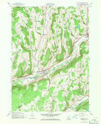
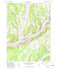
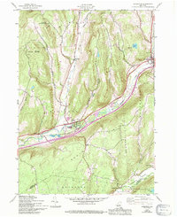
Editions of this 1943 Schenevus Map
4 editions found
Other maps of this area

1904 · Richmondville
USGS Topo · 1:62,500

1904 · Hobart
USGS Topo · 1:62,500

1907 · Cooperstown
USGS Topo · 1:62,500

1909 · Cooperstown
USGS Topo · 1:62,500

1909 · Delhi
USGS Topo · 1:62,500

1911 · Delhi
USGS Topo · 1:62,500

1943 · Milford
USGS Topo · 1:24,000

1943 · South Valley
USGS Topo · 1:24,000

1943 · Westford
USGS Topo · 1:24,000

1943 · Charlotteville
USGS Topo · 1:24,000