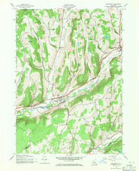
1943 Map of Schenevus
USGS Topo · Published 1971About this map
The Delaware and Hudson railroad corridor defines the valley floor of the Schenevus Creek as it appeared during the early 1940s. This survey, mapped by the Army Map Service, captures a network of rural settlements and family-named landmarks including Schenevus, Chaseville, and Worcester. The landscape is marked by a series of numbered district schools, such as School No 11 and School No 16, and small burial grounds like the Bliven Cem, providing a window into the mid-century social geography of eastern Otsego County.
Find a feature on this map
38 named features on this map. Tap any name to fly to it.
Don’t see what you’re looking for? This feature index may not catch every label — zoom into the map to look around manually.
Map Details
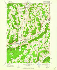
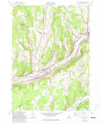
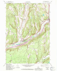
Editions of this 1943 Schenevus Map
4 editions found
Other maps of this area

1904 · Richmondville
USGS Topo · 1:62,500

1904 · Hobart
USGS Topo · 1:62,500

1907 · Cooperstown
USGS Topo · 1:62,500

1909 · Cooperstown
USGS Topo · 1:62,500

1909 · Delhi
USGS Topo · 1:62,500

1911 · Delhi
USGS Topo · 1:62,500

1943 · Milford
USGS Topo · 1:24,000

1943 · South Valley
USGS Topo · 1:24,000

1943 · Westford
USGS Topo · 1:24,000

1943 · Charlotteville
USGS Topo · 1:24,000