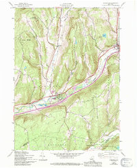
1943 Map of Schenevus
USGS Topo · Published 1994About this map
Schenevus Creek and the Delaware and Hudson railroad define the central corridor of this region, where the village of Schenevus serves as a primary hub for commerce and transport. The landscape is characterized by narrow valleys and significant relief, including elevations at Hooker Mountain and Badeau Hill. In the southern reaches, Charlotte Creek flows through the Charlotte Valley, connecting smaller settlements like South Worcester and Simpsonville.
Find a feature on this map
39 named features on this map. Tap any name to fly to it.
Don’t see what you’re looking for? This feature index may not catch every label — zoom into the map to look around manually.
Map Details
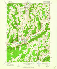
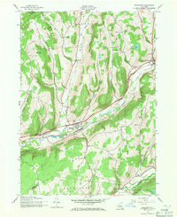
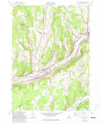
Editions of this 1943 Schenevus Map
4 editions found
Other maps of this area

1904 · Richmondville
USGS Topo · 1:62,500

1904 · Hobart
USGS Topo · 1:62,500

1907 · Cooperstown
USGS Topo · 1:62,500

1909 · Cooperstown
USGS Topo · 1:62,500

1909 · Delhi
USGS Topo · 1:62,500

1911 · Delhi
USGS Topo · 1:62,500

1943 · Milford
USGS Topo · 1:24,000

1943 · South Valley
USGS Topo · 1:24,000

1943 · Westford
USGS Topo · 1:24,000

1943 · Charlotteville
USGS Topo · 1:24,000