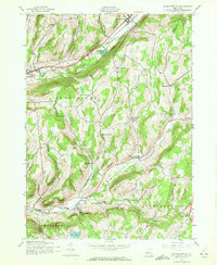
1943 Map of Charlotteville
USGS Topo · Published 1972About this map
Schenevus Creek and the Delaware and Hudson railroad define the northern corridor of this 1943 survey, where the settlements of Worcester and East Worcester serve as local hubs. This rural landscape at the intersection of Otsego, Schoharie, and Delaware counties is characterized by a dense network of district schools, reflecting a mid-century community structure rooted in small valley enclaves. From the Mud Lake Sch in the north to the Titus Hall Sch near Titus Lake in the south, these institutions appear alongside numerous family-named burial grounds like Strain Cem and Dugway Cem. The rugged topography, punctuated by Mountain Strain and Meade Hill, dictates the settlement patterns found at Charlotteville and South Worcester along the winding Charlotte Creek.
Find a feature on this map
39 named features on this map. Tap any name to fly to it.
Don’t see what you’re looking for? This feature index may not catch every label — zoom into the map to look around manually.
Map Details
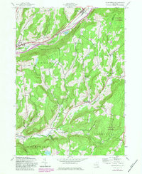
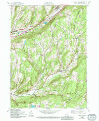
Editions of this 1943 Charlotteville Map
4 editions found
Other maps of this area

1904 · Richmondville
USGS Topo · 1:62,500

1904 · Hobart
USGS Topo · 1:62,500

1907 · Cooperstown
USGS Topo · 1:62,500

1909 · Cooperstown
USGS Topo · 1:62,500

1909 · Delhi
USGS Topo · 1:62,500

1911 · Delhi
USGS Topo · 1:62,500

1943 · South Valley
USGS Topo · 1:24,000

1943 · Westford
USGS Topo · 1:24,000

1943 · Charlotteville
USGS Topo · 1:24,000
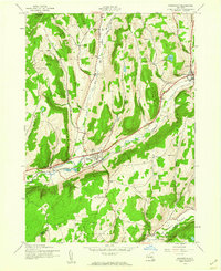
1943 · Schenevus
USGS Topo · 1:24,000