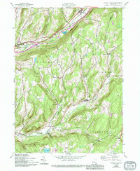
1943 Map of Charlotteville
USGS Topo · Published 1994About this map
Charlotteville and South Worcester sit at the center of this rural landscape where the headwaters of Charlotte Creek carve through the high ground of the Otsego, Schoharie, and Delaware County border. The settlement pattern follows the narrow valleys, with small clusters like Lutheranville and East Worcester providing anchor points for local agricultural life. Transportation infrastructure is defined by the Delaware and Hudson railroad and the burgeoning highway system, including Interchange 19, which reflects the modernization of the region during the mid-20th century.
Find a feature on this map
42 named features on this map. Tap any name to fly to it.
Don’t see what you’re looking for? This feature index may not catch every label — zoom into the map to look around manually.
Map Details
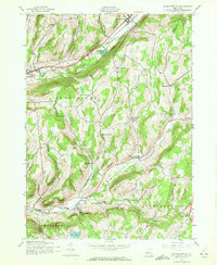
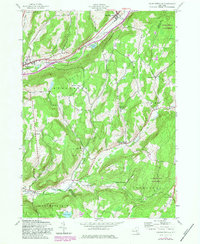
Editions of this 1943 Charlotteville Map
4 editions found
Other maps of this area

1904 · Richmondville
USGS Topo · 1:62,500

1904 · Hobart
USGS Topo · 1:62,500

1907 · Cooperstown
USGS Topo · 1:62,500

1909 · Cooperstown
USGS Topo · 1:62,500

1909 · Delhi
USGS Topo · 1:62,500

1911 · Delhi
USGS Topo · 1:62,500

1943 · South Valley
USGS Topo · 1:24,000

1943 · Westford
USGS Topo · 1:24,000

1943 · Charlotteville
USGS Topo · 1:24,000
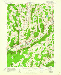
1943 · Schenevus
USGS Topo · 1:24,000