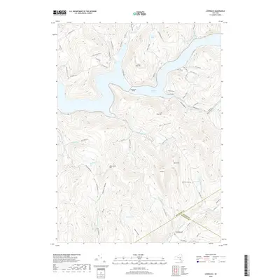
2019 Map of Lewbeach
USGS Topo · Published 2019About this map
Pepacton Reservoir dominates the Catskill landscape in this northern corner of the Delaware River watershed. This modern topographic record reflects the complex hydrology created by the New York City water supply system, most notably where the Shavertown Bridge spans the reservoir. The topography is defined by high ridges like Mary Smith Hill and Perch Lake Mtn, which separate deep hollows and narrow valleys where smaller waterways like Holliday Brook and Barkaboom Stream descend. To the south, the settlement of Lewbeach sits near the junction of the Beaver Kill and Shin Cr, marking a historic gateway for anglers and travelers. The map traces a network of remote mountain roads, including the NYC Route 30A, which follow the contours of the shoreline and provide access to upland water bodies like Huggins Lake and Perch Lake.
Find a feature on this map
68 named features on this map. Tap any name to fly to it.
Don’t see what you’re looking for? This feature index may not catch every label — zoom into the map to look around manually.
Map Details
Editions of this 2019 Lewbeach Map
This is the sole edition of this map. No revisions or reprints were ever made.
Other maps of this area

1901 · Margaretville
USGS Topo · 1:62,500

1904 · Margaretville
USGS Topo · 1:62,500

1910 · Neversink
USGS Topo · 1:62,500

1921 · Livingston Manor
USGS Topo · 1:62,500

1922 · Andes
USGS Topo · 1:62,500

1923 · Livingston Manor
USGS Topo · 1:62,500

1924 · Andes
USGS Topo · 1:62,500

1942 · Neversink
USGS Topo · 1:62,500

1943 · Monticello
USGS Topo · 1:125,000

1944 · Livingston Manor
USGS Topo · 1:62,500