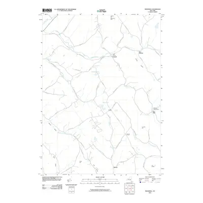
2010 Map of Treadwell
USGS Topo · Published 2010About this map
Treadwell and the surrounding hamlets of Delaware County are defined by a network of steep hills and narrow brook valleys. The landscape is carved by the East Branch Handsome Brook and Treadwell Creek, which dictate the paths of historic thoroughfares like Delhi-Leonta Rd. This 2010 survey illustrates the continued importance of high-elevation landmarks such as Jackson Hill and Waterman Peak, while the cluster of burial grounds including Croton Union Cemetery and Goldsmith Cemetery provides essential geographic markers for genealogical research in this rural pocket of New York. Small, established settlements like West Meredith, Arabia, and West Delhi remain connected by winding mountain roads, such as Case Hill Rd and Ridge Rd, which trace the drainage basins of Roaring Brook and Crystal Brook.
Find a feature on this map
66 named features on this map. Tap any name to fly to it.
Don’t see what you’re looking for? This feature index may not catch every label — zoom into the map to look around manually.
Map Details
Editions of this 2010 Treadwell Map
This is the sole edition of this map. No revisions or reprints were ever made.
Other maps of this area

1909 · Delhi
USGS Topo · 1:62,500

1911 · Delhi
USGS Topo · 1:62,500

1915 · Oneonta
USGS Topo · 1:62,500

1918 · Oneonta
USGS Topo · 1:62,500

1922 · Andes
USGS Topo · 1:62,500

1923 · Walton
USGS Topo · 1:48,000

1924 · Andes
USGS Topo · 1:62,500

1925 · Walton
USGS Topo · 1:62,500

1943 · Delhi
USGS Topo · 1:24,000

1943 · Franklin
USGS Topo · 1:24,000