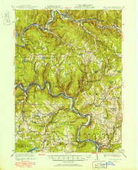
1920 Map of Long Eddy
USGS Topo · Published 1960About this map
Beaver Kill and the East Branch Delaware River converge near East Branch, marking a landscape defined by its river-bend settlements and early twentieth-century transportation corridors. The Erie Railroad snakes along the northern and southern banks of the Delaware River, connecting small communities like Lordville, Long Eddy, and Hankins. This 1920 survey reveals an area transitioning from an industrial past, evidenced by the Buckingham Factory near Equinunk, to a more rural agricultural and recreational character.
Find a feature on this map
136 named features on this map. Tap any name to fly to it.
Don’t see what you’re looking for? This feature index may not catch every label — zoom into the map to look around manually.
Map Details
Editions of this 1920 Long Eddy Map
3 editions found
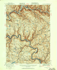
Other maps of this area

1892 · Honesdale
USGS Topo · 1:62,500

1920 · Long Eddy
USGS Topo · 1:62,500

1920 · Damascus
USGS Topo · 1:62,500

1921 · Long Eddy
USGS Topo · 1:48,000

1921 · Livingston Manor
USGS Topo · 1:62,500

1922 · White Lake
USGS Topo · 1:62,500

1922 · Andes
USGS Topo · 1:62,500

1923 · Damascus
USGS Topo · 1:62,500

1923 · Long Eddy
USGS Topo · 1:62,500

1923 · Walton
USGS Topo · 1:48,000