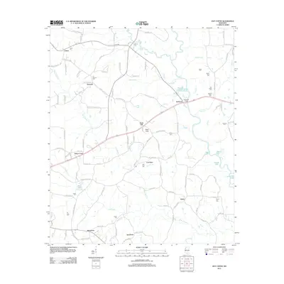
2012 Map of Hot Coffee
USGS Topo · Published 2012About this map
Hot Coffee and the surrounding piney woods of Covington County are centered on this recent topographic study, showing a landscape defined by small rural settlements and a dense network of local cemeteries. The terrain is marked by the winding course of the Leaf River, which is crossed by Reddochs Bridge and joined by numerous tributaries like Masons Cr and Grantham Br. The name of Hot Coffee itself recalls the area's 19th-century history as a traveler's stop, while other named settlements such as Shady Oak, Willowtown, and Speedtown indicate a spread of community centers connected by roads like Old Hopewell RD and Shady Oak Church RD.
Find a feature on this map
121 named features on this map. Tap any name to fly to it.
Don’t see what you’re looking for? This feature index may not catch every label — zoom into the map to look around manually.
Map Details
Editions of this 2012 Hot Coffee Map
This is the sole edition of this map. No revisions or reprints were ever made.
Other maps of this area

1953 · Hattiesburg
USGS Topo · 1:250,000

1958 · Hattiesburg
USGS Topo · 1:250,000

1964 · Seminary
USGS Topo · 1:24,000

1965 · Hebron
USGS Topo · 1:24,000

1965 · Hot Coffee
USGS Topo · 1:24,000

1965 · Moselle
USGS Topo · 1:24,000

1974 · Williamsburg
USGS Topo · 1:24,000

1974 · Soso
USGS Topo · 1:24,000

1974 · Collins
USGS Topo · 1:24,000

1975 · Taylorsville
USGS Topo · 1:24,000