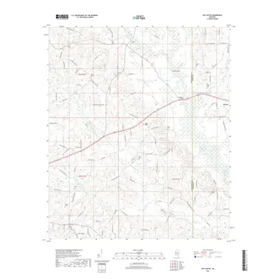
2018 Map of Hot Coffee
USGS Topo · Published 2018About this map
Hot Coffee and the village of Hebron anchor this landscape along the Covington Co and Jones County border. This part of Mississippi is defined by the winding course of the Leaf River, which is fed by numerous smaller waterways like Easterling Br, Grantham Br, and Station Cr. The area is characterized by a high density of family and community burial grounds, reflecting the deep ancestral roots in the region. Notable sites include the Old Hopewell Cem, Mount Olive Cem, and the Jack Knight Cem.
Find a feature on this map
109 named features on this map. Tap any name to fly to it.
Don’t see what you’re looking for? This feature index may not catch every label — zoom into the map to look around manually.
Map Details
Editions of this 2018 Hot Coffee Map
This is the sole edition of this map. No revisions or reprints were ever made.
Other maps of this area

1953 · Hattiesburg
USGS Topo · 1:250,000

1958 · Hattiesburg
USGS Topo · 1:250,000

1964 · Seminary
USGS Topo · 1:24,000

1965 · Hebron
USGS Topo · 1:24,000

1965 · Hot Coffee
USGS Topo · 1:24,000

1965 · Moselle
USGS Topo · 1:24,000

1974 · Williamsburg
USGS Topo · 1:24,000

1974 · Soso
USGS Topo · 1:24,000

1974 · Collins
USGS Topo · 1:24,000

1975 · Taylorsville
USGS Topo · 1:24,000