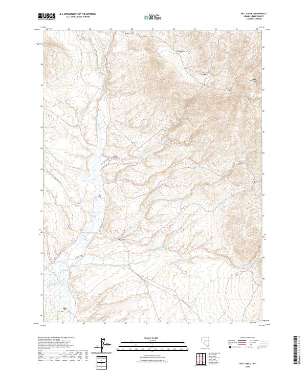
2021 Map of Hot Creek
USGS Topo · Published 2021About this map
The Snake Mountains dominate the northeastern landscape of this Elko County quadrangle, where a high-elevation drainage system feeds into the Marys River. The area is defined by its vital water sources, including the distinctively named Bathtub Spring and the geothermal activity suggested by Hot Creek Springs. These water features were essential for the remote ranching and grazing operations that shaped the local history of northern Nevada.
Find a feature on this map
24 named features on this map. Tap any name to fly to it.
Don’t see what you’re looking for? This feature index may not catch every label — zoom into the map to look around manually.
Map Details
Editions of this 2021 Hot Creek Map
This is the sole edition of this map. No revisions or reprints were ever made.
Other maps of this area

1955 · Wells
USGS Topo · 1:250,000

1958 · Wells
USGS Topo · 1:250,000

1961 · Wells
USGS Topo · 1:250,000

1967 · Buena Vista Ranch
USGS Topo · 1:24,000

1967 · Black Butte NE
USGS Topo · 1:24,000

1967 · Hanks Creek NE
USGS Topo · 1:24,000

1968 · Marys River Basin NE
USGS Topo · 1:24,000

1968 · Marys River Basin SE
USGS Topo · 1:24,000

1968 · Hot Creek
USGS Topo · 1:24,000
1968 · Stormy Peak
USGS Topo · 1:24,000