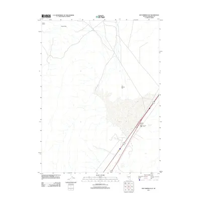
2011 Map of Hot Springs Flat
USGS Topo · Published 2011About this map
Hot Springs Flat serves as the central basin for this high-desert landscape in Churchill County, where thermal activity and transit corridors converge. The presence of the Massie Post Office near the Nightingale Interchange indicates a small hub of human activity along the modern highway route of Alt 95. This corridor runs parallel to the geothermal features of Bradys Hot Springs, illustrating how geological assets and transportation networks often occupy the same narrow geographic strips in the Great Basin. To the northwest, the topography shifts abruptly into the elevated terrain of Fireball Ridge and the deep incision of Tolbert Canyon, contrasting the broad, open alluvial plains with the stark relief of Nevada's basin and range province.
Find a feature on this map
8 named features on this map. Tap any name to fly to it.
Don’t see what you’re looking for? This feature index may not catch every label — zoom into the map to look around manually.
Map Details
Editions of this 2011 Hot Springs Flat Map
This is the sole edition of this map. No revisions or reprints were ever made.
Other maps of this area

1890 · Wadsworth
USGS Topo · 1:125,000

1892 · Wadsworth
USGS Topo · 1:125,000

1894 · Wadsworth
USGS Topo · 1:125,000

1908 · Carson Sink
USGS Topo · 1:250,000

1910 · Carson Sink
USGS Topo · 1:250,000

1951 · Soda Lake
USGS Topo · 1:62,500

1951 · Desert Peak
USGS Topo · 1:62,500

1957 · Fireball Ridge
USGS Topo · 1:62,500

1957 · Two Tips
USGS Topo · 1:62,500

1957 · Reno
USGS Topo · 1:250,000