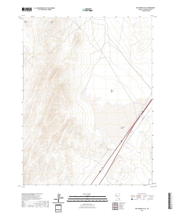
2021 Map of Hot Springs Flat
USGS Topo · Published 2021About this map
Bradys Hot Springs and the surrounding basin of the Fortymile Desert define this portion of Churchill County. This arid landscape is characterized by a stark contrast between the steep elevations of Fireball Ridge and Tolbert Canyon to the northwest and the expansive lowlands of Hot Springs Flat. The modern transportation corridor is represented by Frontage Rd, which runs parallel to the interstate through the desert floor. The area's geothermal significance is clear, as the map records the locations of springs that have historically drawn travelers through this notoriously difficult stretch of the Great Basin. This edition provides a precise view of the topography and township boundaries as they were maintained in the early 21st century.
Find a feature on this map
11 named features on this map. Tap any name to fly to it.
Don’t see what you’re looking for? This feature index may not catch every label — zoom into the map to look around manually.
Map Details
Editions of this 2021 Hot Springs Flat Map
This is the sole edition of this map. No revisions or reprints were ever made.
Other maps of this area

1890 · Wadsworth
USGS Topo · 1:125,000

1892 · Wadsworth
USGS Topo · 1:125,000

1894 · Wadsworth
USGS Topo · 1:125,000

1908 · Carson Sink
USGS Topo · 1:250,000

1910 · Carson Sink
USGS Topo · 1:250,000

1951 · Soda Lake
USGS Topo · 1:62,500

1951 · Desert Peak
USGS Topo · 1:62,500

1957 · Fireball Ridge
USGS Topo · 1:62,500

1957 · Two Tips
USGS Topo · 1:62,500

1957 · Reno
USGS Topo · 1:250,000