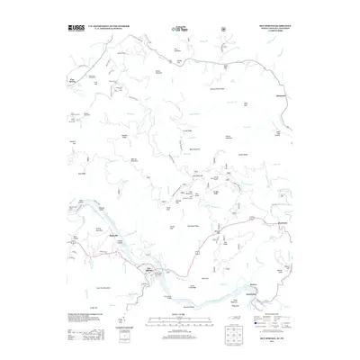
2013 Map of Hot Springs
USGS Topo · Published 2013About this map
The French Broad River carves through the Appalachian landscape, anchoring the historic town of Hot Springs. This area, documented in 2013, shows the enduring layout of river-aligned settlements and mountain crossings. Notable landmarks include the CCC Camp Number F 7 and the Rich Mountain Lookout, which signify the region's history with federal conservation and forestry. Smaller communities such as Stackhouse, Runion, and Shaleville sit along the river's edge, while recreation-focused sites like the Paint Creek Campground and Spring Mountain Trail Shelter dot the higher elevations.
Find a feature on this map
114 named features on this map. Tap any name to fly to it.
Don’t see what you’re looking for? This feature index may not catch every label — zoom into the map to look around manually.
Map Details
Editions of this 2013 Hot Springs Map
This is the sole edition of this map. No revisions or reprints were ever made.
Other maps of this area

1892 · Greeneville
USGS Topo · 1:125,000

1894 · Asheville
USGS Topo · 1:125,000

1896 · Greeneville
USGS Topo · 1:125,000

1901 · Asheville
USGS Topo · 1:125,000

1904 · Greeneville
USGS Topo · 1:125,000

1935 · Paint Rock
USGS Topo · 1:24,000

1935 · Cedar Creek
USGS Topo · 1:24,000

1935 · Hot Springs
USGS Topo · 1:24,000

1935 · Spring Creek
USGS Topo · 1:24,000

1935 · Lemon Gap
USGS Topo · 1:24,000