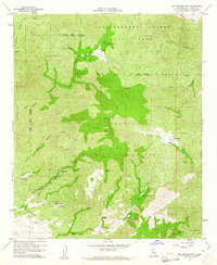
1960 Map of Hot Springs Mtn.
USGS Topo · Published 1961About this map
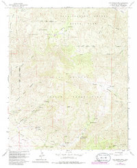
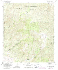
Los Coyotes Indian Reservation occupies much of this high-altitude landscape, centered on the prominent peak of Hot Springs Mtn. The 1960 survey illustrates a region where water sources are the primary landmarks, with numerous named points such as Rainbow Spring, Weowlet Spring, and Shingle Spring scattered throughout the canyons. Human presence is concentrated at small outposts like San Ignacio and San Ysidro, while the western edge transitions into the Cleveland National Forest.
Find a feature on this map
38 named features on this map. Tap any name to fly to it.
Don’t see what you’re looking for? This feature index may not catch every label — zoom into the map to look around manually.
Map Details
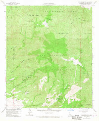
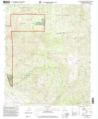
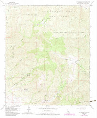
Editions of this 1960 Hot Springs Mtn. Map
6 editions found
Other maps of this area

1903 · Ramona
USGS Topo · 1:125,000

1904 · Indio
USGS Topo · 1:125,000

1904 · Southern California Sheet No. 2
USGS Topo · 1:250,000

1931 · Vallecito
USGS Topo · 1:125,000

1939 · Warner Springs
USGS Topo · 1:62,500

1939 · Santa Ysabel
USGS Topo · 1:62,500

1939 · Borrego
USGS Topo · 1:62,500

1941 · Clark Lake
USGS Topo · 1:62,500

1942 · Clark Lake
USGS Topo · 1:62,500

1942 · Borego
USGS Topo · 1:62,500