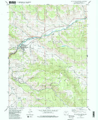
1980 Map of Hot Sulphur Springs
USGS Topo · Published 1981About this map
Hot Sulphur Springs serves as the focal point of this mountain landscape, positioned where the Colorado River cuts through the narrow passage of Byers Canyon. The town's layout is closely tied to the Denver and Rio Grande Western Railroad, which mirrors the river's path through the steep terrain. Infrastructure such as the Gaging Sta and Sewage Disposal Ponds reflects the mid-century development of the community. Outside the town site, the map reveals a network of waterways including Sheriff Creek and McQueary Creek feeding into the main river valley.
Find a feature on this map
28 named features on this map. Tap any name to fly to it.
Don’t see what you’re looking for? This feature index may not catch every label — zoom into the map to look around manually.
Map Details
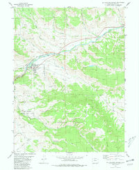
Editions of this 1980 Hot Sulphur Springs Map
2 editions found
Other maps of this area

1915 · Longs Peak
USGS Topo · 1:125,000

1919 · Rocky Mountain National Park
USGS Topo · 1:125,000

1924 · Fraser
USGS Topo · 1:62,500

1926 · Fraser
USGS Topo · 1:62,500

1933 · Ute Peak
USGS Topo · 1:62,500

1937 · Ute Peak
USGS Topo · 1:62,500

1953 · Denver
USGS Topo · 1:250,000

1954 · Greeley
USGS Topo · 1:250,000

1954 · Craig
USGS Topo · 1:250,000

1957 · Denver
USGS Topo · 1:250,000