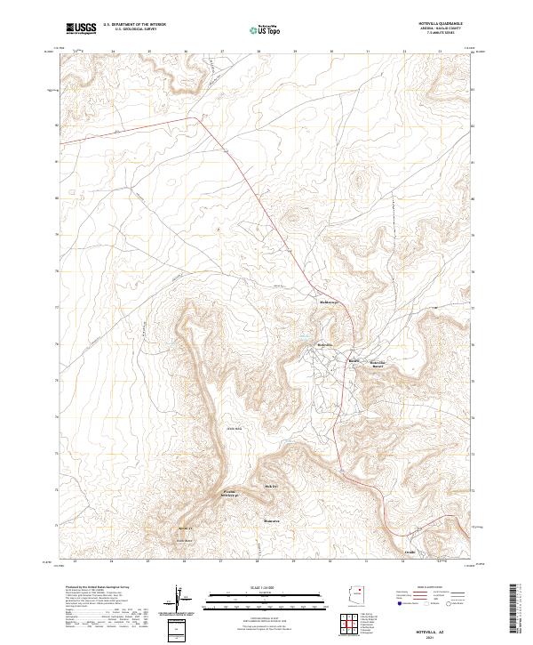
2021 Map of Hotevilla
USGS Topo · Published 2021About this map
Oraibi Mesa dominates this Navajo County landscape, where ancient settlement patterns and modern infrastructure meet along the high plateaus of Arizona. The map details the proximity of Hotevilla, Bacavi, and the southern community of Oraibi, revealing a geography defined by traditional Hopi places such as Huk Ovi, Mumurva, and Pivahn-hon-kya-pi. These locations are connected by a network of thoroughfares including Indian Rte 9 and Indian Rte 13, which navigate the elevation changes between the mesa tops and the surrounding desert floor.
Find a feature on this map
24 named features on this map. Tap any name to fly to it.
Don’t see what you’re looking for? This feature index may not catch every label — zoom into the map to look around manually.
Map Details
Editions of this 2021 Hotevilla Map
This is the sole edition of this map. No revisions or reprints were ever made.
Other maps of this area

1883 · Marsh Pass
USGS Topo · 1:250,000

1883 · Tusayan
USGS Topo · 1:250,000

1886 · Tusayan
USGS Topo · 1:250,000

1892 · Marsh Pass
USGS Topo · 1:250,000

1947 · Flagstaff
USGS Topo · 1:250,000

1954 · Flagstaff
USGS Topo · 1:250,000

1956 · Marble Canyon
USGS Topo · 1:250,000

1958 · Flagstaff
USGS Topo · 1:250,000

1959 · Marble Canyon
USGS Topo · 1:250,000

1960 · Flagstaff
USGS Topo · 1:250,000