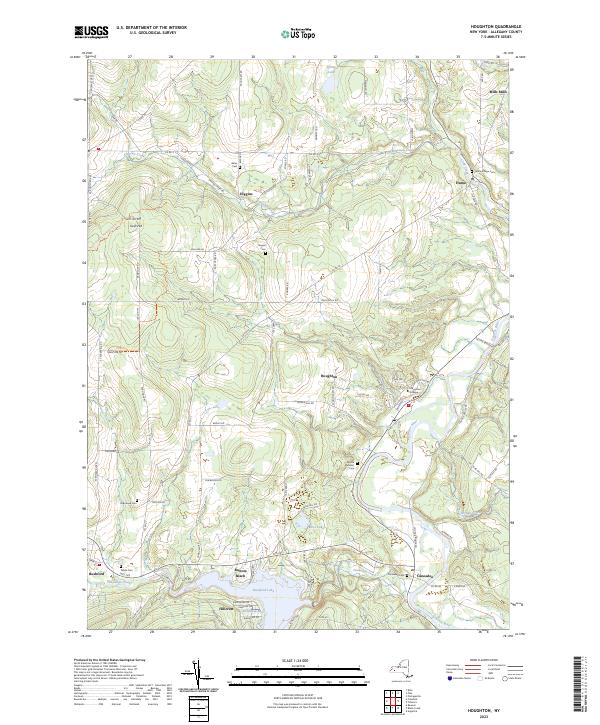
2023 Map of Houghton
USGS Topo · Published 2023About this map
The Genesee River valley anchors this study of north-central Allegany County, where the institutional grounds of Houghton College overlook the river's eastern bends. To the west, the landscape is defined by the recreation and topography surrounding Rushford Lake, featuring the lakeside communities of Balcom Beach and Hillcrest. The map documents a predominantly rural and academic landscape where small hamlets like Higgins and Mills Mills are connected by a network of high-elevation roads like Cronk Hill Rd and Fox Hill Rd.
Find a feature on this map
97 named features on this map. Tap any name to fly to it.
Don’t see what you’re looking for? This feature index may not catch every label — zoom into the map to look around manually.
Map Details
Editions of this 2023 Houghton Map
This is the sole edition of this map. No revisions or reprints were ever made.
Other maps of this area

1905 · Portage
USGS Topo · 1:62,500

1906 · Angelica
USGS Topo · 1:62,500

1923 · Arcade
USGS Topo · 1:62,500

1924 · Franklinville
USGS Topo · 1:62,500

1925 · Arcade
USGS Topo · 1:62,500

1941 · Angelica
USGS Topo · 1:62,500

1942 · Franklinville
USGS Topo · 1:62,500

1943 · Portageville
USGS Topo · 1:24,000

1943 · Pike
USGS Topo · 1:24,000

1944 · Pike
USGS Topo · 1:31,680