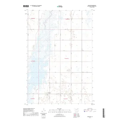
2017 Map of Houghton
USGS Topo · Published 2017About this map
Houghton sits at the heart of this Brown County landscape, defined by the intricate winding of the James River and the expansive waters of the Columbia Road Reservoir. This 2017 survey captures a region where agriculture and conservation meet, illustrated by the network of section-line roads like 399th Ave and 112th St that crisscross the plains. A significant portion of the river corridor is dedicated to managed access, shown by the Auto Tour Rte and N Tour Rte which provide paths through the wetlands and river bends. The map documents the precise township and range divisions, including t127n r61w, revealing the enduring structure of South Dakota's rural land management and the importance of water resources in the northern prairie.
Find a feature on this map
27 named features on this map. Tap any name to fly to it.
Don’t see what you’re looking for? This feature index may not catch every label — zoom into the map to look around manually.
Map Details
Editions of this 2017 Houghton Map
This is the sole edition of this map. No revisions or reprints were ever made.
Other maps of this area

1894 · Hecla
USGS Topo · 1:62,500

1894 · Columbia
USGS Topo · 1:62,500

1894 · Savo
USGS Topo · 1:62,500

1896 · Columbia
USGS Topo · 1:125,000

1952 · Columbia NE
USGS Topo · 1:24,000

1953 · Hecla SE
USGS Topo · 1:24,000

1953 · Houghton
USGS Topo · 1:24,000
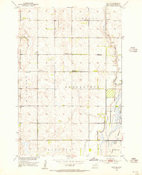
1953 · Savo SE
USGS Topo · 1:24,000

1954 · Daly Corners
USGS Topo · 1:24,000

1954 · Aberdeen
USGS Topo · 1:250,000
Featured Places
- Hecla Township, SD
- Greenfield Township, SD
- Shelby Township, SD
- Lansing Township, SD
- Liberty Township, SD