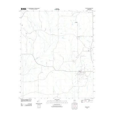
2012 Map of Houlka
USGS Topo · Published 2012About this map
Houlka anchors the southeastern portion of this landscape, where a grid of local streets meets the surrounding rural road network. The terrain is defined by a dense web of waterways including the Skuna River, Houlka Cr, and Chuquatonchee Cr. These drainage patterns influenced the placement of early settlements like Gershorm and Wallfield, which appear as small crossroads communities. Small family and community burial sites are scattered throughout the region, such as Indian Creek Cem, Cooke Cem, and Williams Cem, providing valuable touchpoints for genealogical research. The map illustrates a transition from the structured town plan of Houlka to the winding country routes like Redland Sarepta Rd and Cooke Rd that traverse the creeks and ridges of the Chickasaw and Pontotoc county borderlands.
Find a feature on this map
82 named features on this map. Tap any name to fly to it.
Don’t see what you’re looking for? This feature index may not catch every label — zoom into the map to look around manually.
Map Details
Editions of this 2012 Houlka Map
This is the sole edition of this map. No revisions or reprints were ever made.
Other maps of this area

1953 · West Point
USGS Topo · 1:250,000

1956 · Tupelo
USGS Topo · 1:250,000

1958 · Tupelo
USGS Topo · 1:250,000

1958 · West Point
USGS Topo · 1:250,000

1959 · Van Vleet
USGS Topo · 1:62,500

1963 · West Point
USGS Topo · 1:250,000

1966 · Troy NW
USGS Topo · 1:24,000

1966 · Troy
USGS Topo · 1:24,000

1972 · Houlka
USGS Topo · 1:24,000

1972 · Robbs
USGS Topo · 1:24,000