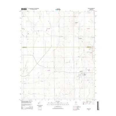
2015 Map of Houlka
USGS Topo · Published 2015About this map
The Skuna River and its numerous tributaries, including Buck Br and Mud Cr, dominate the drainage patterns of this Mississippi landscape. The area straddles the Pontotoc Co Chickasaw Co line, with the twin settlements of Houlka and New Houlka serving as the primary centers of population in the south. To the north, the smaller community of Gershorm and the locality of Wallfield sit near the headwaters of Chuquatonchee Cr.
Find a feature on this map
71 named features on this map. Tap any name to fly to it.
Don’t see what you’re looking for? This feature index may not catch every label — zoom into the map to look around manually.
Map Details
Editions of this 2015 Houlka Map
This is the sole edition of this map. No revisions or reprints were ever made.
Other maps of this area

1953 · West Point
USGS Topo · 1:250,000

1956 · Tupelo
USGS Topo · 1:250,000

1958 · Tupelo
USGS Topo · 1:250,000

1958 · West Point
USGS Topo · 1:250,000

1959 · Van Vleet
USGS Topo · 1:62,500

1963 · West Point
USGS Topo · 1:250,000

1966 · Troy NW
USGS Topo · 1:24,000

1966 · Troy
USGS Topo · 1:24,000

1972 · Houlka
USGS Topo · 1:24,000

1972 · Robbs
USGS Topo · 1:24,000