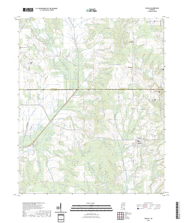
2024 Map of Houlka
USGS Topo · Published 2024About this map
Houlka and New Houlka anchor the southeastern portion of this landscape, situated just below the county line dividing Pontotoc and Chickasaw counties. The terrain is defined by the prominent Pontotoc Ridge in the northeast and a complex network of waterways, including the winding Skuna River, Mud Creek, and Chuquatonchee Creek. Rural settlements like Wallfield and Gershorm are scattered throughout the northern sections, connected by a grid of county roads. For those tracing family histories in the region, the map documents several burial grounds such as Indian Creek Cem, Cooke Cem, and the East County Line Cem. The presence of the Farm Service Agency Interest of Mississippi tract highlights the area's ongoing agricultural significance and land management patterns.
Find a feature on this map
73 named features on this map. Tap any name to fly to it.
Don’t see what you’re looking for? This feature index may not catch every label — zoom into the map to look around manually.
Map Details
Editions of this 2024 Houlka Map
This is the sole edition of this map. No revisions or reprints were ever made.
Other maps of this area

1953 · West Point
USGS Topo · 1:250,000

1956 · Tupelo
USGS Topo · 1:250,000

1958 · Tupelo
USGS Topo · 1:250,000

1958 · West Point
USGS Topo · 1:250,000

1959 · Van Vleet
USGS Topo · 1:62,500

1963 · West Point
USGS Topo · 1:250,000

1966 · Troy NW
USGS Topo · 1:24,000

1966 · Troy
USGS Topo · 1:24,000

1972 · Houlka
USGS Topo · 1:24,000

1972 · Robbs
USGS Topo · 1:24,000