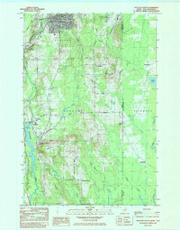
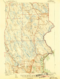
1984 Map of Houlton South
USGS Topo · Published 1984About this map
Houlton serves as the northern anchor of this landscape, situated just west of the international boundary line between Maine and New Brunswick. The 1980s terrain is marked by a network of agricultural and timber roads, including White Settlement Road and Settlement Road, which connect historic clusters like Jackins Settlement and East Hodgdon. The Meduxnekeag River and its numerous tributaries, such as Pearce Brook and Stone Brook, define the drainage patterns of the region, while the Canadian Pacific and the U.S. Government Railroad reflect the area's logistical importance at the border. Cultural and civic life is anchored by landmarks like the Union Church, Maranatha Church, and Lambert School, providing valuable points of reference for genealogists tracing family roots in these rural Aroostook County communities.
Find a feature on this map
56 named features on this map. Tap any name to fly to it.
Don’t see what you’re looking for? This feature index may not catch every label — zoom into the map to look around manually.
Map Details
Editions of this 1984 Houlton South Map
2 editions found
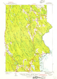
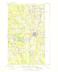
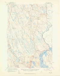
Other maps of this area
1938 · Houlton
USGS Topo · 1:62,500
1940 · Amity
USGS Topo · 1:62,500
1941 · Amity
USGS Topo · 1:62,500
1943 · Amity
USGS Topo · 1:62,500
1951 · Houlton
USGS Topo · 1:62,500

1957 · Fredericton
USGS Topo · 1:250,000
1958 · Amity
USGS Topo · 1:62,500

1959 · Woodstock
USGS Topo · 1:250,000

1963 · Woodstock
USGS Topo · 1:250,000

1963 · Fredericton
USGS Topo · 1:250,000