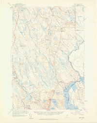
1958 Map of Amity
USGS Topo · Published 1960About this map
Estabrook Settlement and Wilcox Settlement anchor this portrait of Aroostook County’s eastern frontier during the late 1950s. The landscape is defined by the international boundary, where United States Canada monuments mark the edge of the wilderness. Community life is meticulously detailed through a network of rural schoolhouses, including Smith Sch, Skedgell Sch, and the South Amity Sch, alongside the Grange Hall in North Amity. These labels imply a dispersed but organized agricultural society relying on local hubs. To the west, the terrain rises toward Mitchel Mtn, where a Lookout Tower stands watch over the drainage basins of the South Branch Meduxnekeag River and the Mattawamkeag River. The map also captures several family-named burial grounds like Estabrook Cem and Wilcox Cem, offering specific data points for genealogists tracing these specific lineages in the borderlands.
Find a feature on this map
109 named features on this map. Tap any name to fly to it.
Don’t see what you’re looking for? This feature index may not catch every label — zoom into the map to look around manually.
Map Details
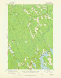
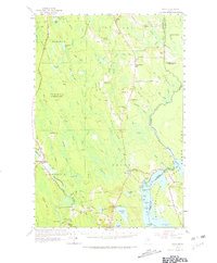
Editions of this 1958 Amity Map
3 editions found
Other maps of this area

1937 · Smyrna Mills
USGS Topo · 1:62,500

1938 · Houlton
USGS Topo · 1:62,500

1940 · Danforth
USGS Topo · 1:62,500

1940 · Amity
USGS Topo · 1:62,500

1940 · Forest
USGS Topo · 1:62,500

1941 · Danforth
USGS Topo · 1:62,500

1941 · Amity
USGS Topo · 1:62,500

1941 · Mattawamkeag Lake
USGS Topo · 1:62,500

1941 · Wytopitlock
USGS Topo · 1:62,500

1942 · Forest
USGS Topo · 1:62,500