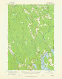
1958 Map of Amity
USGS Topo · Published 1960About this map
The international border between Maine and New Brunswick defines the eastern landscape of this late-1950s survey, marked by a dense sequence of survey markers from Monument 1A down to Monument 38. Small, rural clusters of settlement such as North Amity and South Amity anchor the local community, which is supported by civic infrastructure like the Grange Hall and several local schoolhouses including Smith Sch and Reed Sch.
Find a feature on this map
140 named features on this map. Tap any name to fly to it.
Don’t see what you’re looking for? This feature index may not catch every label — zoom into the map to look around manually.
Map Details
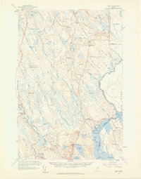
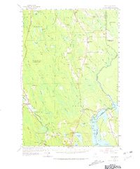
Editions of this 1958 Amity Map
3 editions found
Other maps of this area

1937 · Smyrna Mills
USGS Topo · 1:62,500

1938 · Houlton
USGS Topo · 1:62,500

1940 · Danforth
USGS Topo · 1:62,500

1940 · Amity
USGS Topo · 1:62,500

1940 · Forest
USGS Topo · 1:62,500

1941 · Danforth
USGS Topo · 1:62,500

1941 · Amity
USGS Topo · 1:62,500

1941 · Mattawamkeag Lake
USGS Topo · 1:62,500

1941 · Wytopitlock
USGS Topo · 1:62,500

1942 · Forest
USGS Topo · 1:62,500