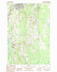
1984 Map of Houlton South
USGS Topo · Published 1985About this map
The international boundary between Maine and New Brunswick anchors this 1980s landscape, where the southern reaches of Houlton meet the rural township of Hodgdon. A complex network of transportation routes defines the area, including the Bangor and Aroostook Railroad, the Canadian Pacific Railroad, and the sprawling Houlton International Airport in the northeast. The map details a transition from the commercial streets of Houlton to a landscape of timbered hills and scattered agricultural settlements.
Find a feature on this map
58 named features on this map. Tap any name to fly to it.
Don’t see what you’re looking for? This feature index may not catch every label — zoom into the map to look around manually.
Map Details
Editions of this 1984 Houlton South Map
2 editions found
Other maps of this area

1938 · Houlton
USGS Topo · 1:62,500

1940 · Amity
USGS Topo · 1:62,500

1941 · Amity
USGS Topo · 1:62,500

1943 · Amity
USGS Topo · 1:62,500

1951 · Houlton
USGS Topo · 1:62,500

1957 · Fredericton
USGS Topo · 1:250,000
1958 · Amity
USGS Topo · 1:62,500

1959 · Woodstock
USGS Topo · 1:250,000

1963 · Woodstock
USGS Topo · 1:250,000

1963 · Fredericton
USGS Topo · 1:250,000