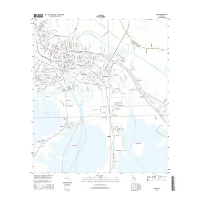
2015 Map of Houma
USGS Topo · Published 2015About this map
Houma's intricate network of waterways and bayous serves as the primary skeleton for Terrebonne Parish’s development in this modern survey. The Houma Navigation Canal and Intracostal Waterway intersect here, facilitating industrial and commercial transit through a landscape deeply tied to the Gulf's maritime economy. This geography is further defined by radiating bayous such as Bayou Terrebonne, Bayou Black, and Bayou Grand Caillou, along which established settlements like Mechanicville, Woodlawn, and Presquille are oriented.
Find a feature on this map
50 named features on this map. Tap any name to fly to it.
Don’t see what you’re looking for? This feature index may not catch every label — zoom into the map to look around manually.
Map Details
Editions of this 2015 Houma Map
This is the sole edition of this map. No revisions or reprints were ever made.
Other maps of this area

1892 · Gibson
USGS Topo · 1:62,500

1892 · Houma
USGS Topo · 1:62,500

1894 · Bayou De Large
USGS Topo · 1:62,500

1894 · Dulac
USGS Topo · 1:62,500

1897 · Gibson
USGS Topo · 1:62,500

1932 · Houma SE
USGS Topo · 1:31,680

1932 · Houma SW
USGS Topo · 1:31,680

1932 · Houma NE
USGS Topo · 1:31,680

1932 · Houma NW
USGS Topo · 1:31,680

1935 · Theriot
USGS Topo · 1:31,680