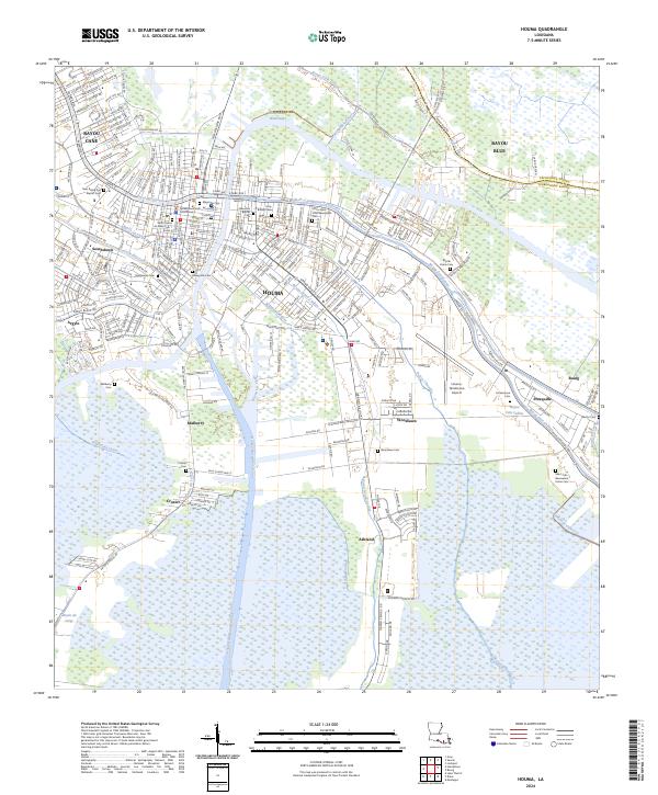
2024 Map of Houma
USGS Topo · Published 2024About this map
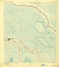
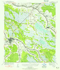
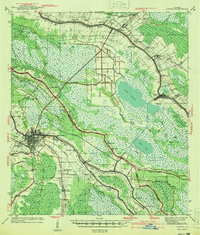
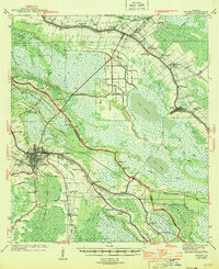
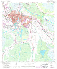
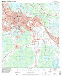
Houma sits at the vital junction of the Intracoastal Waterway and the Houma Navigation Canal, serving as the urban hub for a landscape defined by its intricate network of bayous and man-made waterways. This survey illustrates the dense development of the city center near the Terrebonne Parish Courthouse, radiating out along historic arteries like Main St and W Park Ave. The geography of the surrounding parish is traced by the winding paths of Bayou Terrebonne and Bayou Grand Caillou, where development follows the higher ground of natural levees.
Find a feature on this map
63 named features on this map. Tap any name to fly to it.
Don’t see what you’re looking for? This feature index may not catch every label — zoom into the map to look around manually.
Map Details
Editions of this 2024 Houma Map
This is the sole edition of this map. No revisions or reprints were ever made.
Historical Maps of Argyle Through Time
8 maps found