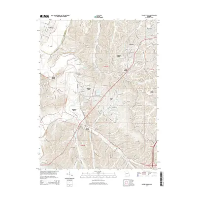
2015 Map of House Springs
USGS Topo · Published 2015About this map
The Big River and Meramec River systems define this 2015 landscape, marking a heavily developed region south of Eureka along the St. Louis and Jefferson County line. The map showcases a dense network of residential communities and recreational lakes, from the established center at House Springs to newer enclaves like Peaceful Village and Scotsdale. Significant commercial and transport activity is concentrated along Gravois Rd and High Ridge Blvd, which serve as the primary corridors through the hilly terrain.
Find a feature on this map
34 named features on this map. Tap any name to fly to it.
Don’t see what you’re looking for? This feature index may not catch every label — zoom into the map to look around manually.
Map Details
Editions of this 2015 House Springs Map
This is the sole edition of this map. No revisions or reprints were ever made.
Other maps of this area

1901 · De Soto
USGS Topo · 1:125,000

1903 · O'Fallon
USGS Topo · 1:125,000

1912 · Kimmswick
USGS Topo · 1:62,500

1916 · Kimmswick
USGS Topo · 1:62,500

1930 · Pacific SE
USGS Topo · 1:24,000

1931 · Manchester SE
USGS Topo · 1:24,000

1931 · Pacific NE
USGS Topo · 1:24,000

1933 · Kirkwood
USGS Topo · 1:24,000

1937 · Pacific
USGS Topo · 1:24,000

1938 · Cedar Hill
USGS Topo · 1:24,000