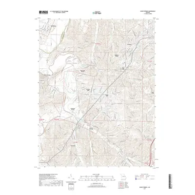
2017 Map of House Springs
USGS Topo · Published 2017About this map
The Big River and Meramec River systems define the geography of this northern Jefferson County region, where high ridges and creek valleys dictated the growth of early settlements. By the early 21st century, communities like House Springs and Byrnes Mill show a transition from their rural origins toward established residential areas. The landscape is dotted with private water bodies, including Volumer Lake, Lake Montowese, and Lake Secon, many associated with planned residential enclaves like Echo Lake Ranch. Along the river bends, features such as Rockford Beach and Hoene Spring highlight the area's long-standing connection to the waterways. In the north, the terrain rises toward High Ridge and Peaceful Village, while the ST Louis Co and Jefferson Co border cuts through the northwestern corner near Eureka, marking the transition into the greater St. Louis metropolitan fringe.
Find a feature on this map
231 named features on this map. Tap any name to fly to it.
Don’t see what you’re looking for? This feature index may not catch every label — zoom into the map to look around manually.
Map Details
Editions of this 2017 House Springs Map
This is the sole edition of this map. No revisions or reprints were ever made.
Other maps of this area

1901 · De Soto
USGS Topo · 1:125,000

1903 · O'Fallon
USGS Topo · 1:125,000

1912 · Kimmswick
USGS Topo · 1:62,500

1916 · Kimmswick
USGS Topo · 1:62,500

1930 · Pacific SE
USGS Topo · 1:24,000

1931 · Manchester SE
USGS Topo · 1:24,000

1931 · Pacific NE
USGS Topo · 1:24,000

1933 · Kirkwood
USGS Topo · 1:24,000

1937 · Pacific
USGS Topo · 1:24,000

1938 · Cedar Hill
USGS Topo · 1:24,000