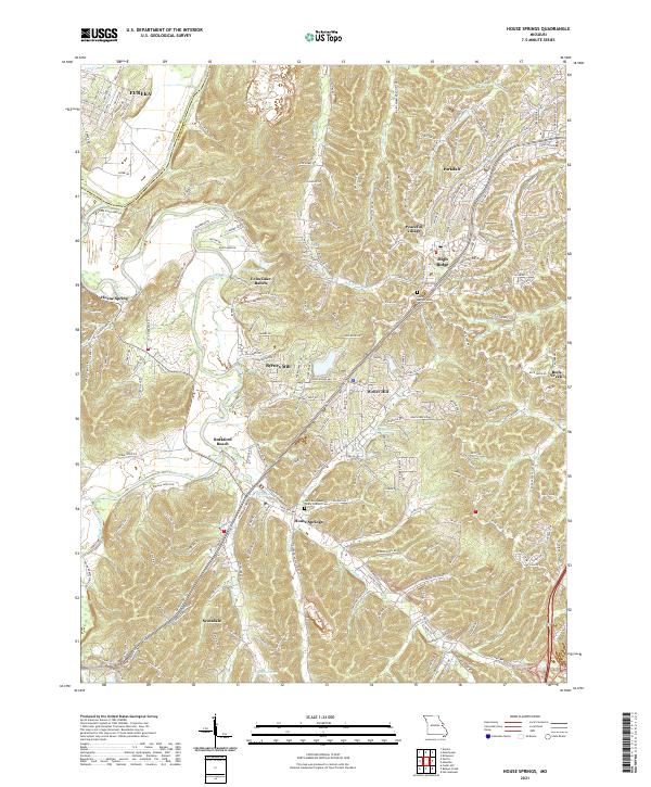
2021 Map of House Springs
USGS Topo · Published 2021About this map
The Big River and Meramec River converge in this section of Jefferson County, defining a landscape of wooded bluffs and river bends. The settlement of Byrnes Mill sits along the northern banks of the Big River, while Rockford Beach serves as a notable landmark further downstream. This 2021 update shows the modern residential growth of High Ridge, Peaceful Village, and Scotsdale, which contrast with the more established rural centers.
Find a feature on this map
219 named features on this map. Tap any name to fly to it.
Don’t see what you’re looking for? This feature index may not catch every label — zoom into the map to look around manually.
Map Details
Editions of this 2021 House Springs Map
This is the sole edition of this map. No revisions or reprints were ever made.
Other maps of this area

1901 · De Soto
USGS Topo · 1:125,000

1903 · O'Fallon
USGS Topo · 1:125,000

1912 · Kimmswick
USGS Topo · 1:62,500

1916 · Kimmswick
USGS Topo · 1:62,500

1930 · Pacific SE
USGS Topo · 1:24,000

1931 · Manchester SE
USGS Topo · 1:24,000

1931 · Pacific NE
USGS Topo · 1:24,000

1933 · Kirkwood
USGS Topo · 1:24,000

1937 · Pacific
USGS Topo · 1:24,000

1938 · Cedar Hill
USGS Topo · 1:24,000