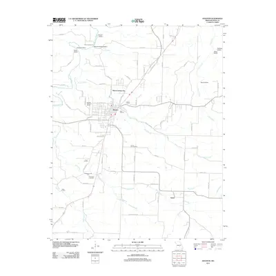
2012 Map of Houston
USGS Topo · Published 2012About this map
Houston serves as the central hub of this Missouri landscape, situated near the headwaters and branches of several significant waterways including the Big Piney River and Brushy Creek. The geography is defined by a series of deeply etched drainage patterns, with named terrain features such as Cathcart Hollow, Mineral Springs Hollow, and Devils Hollow radiating out from the primary settlements. To the north, Mineral Springs City and the crossing at Mineral Springs Ford indicate the historical importance of local water sources to the area's development and movement.
Find a feature on this map
76 named features on this map. Tap any name to fly to it.
Don’t see what you’re looking for? This feature index may not catch every label — zoom into the map to look around manually.
Map Details
Editions of this 2012 Houston Map
This is the sole edition of this map. No revisions or reprints were ever made.
Other maps of this area

1941 · Bado
USGS Topo · 1:62,500

1943 · Bado
USGS Topo · 1:62,500

1945 · Clear Springs
USGS Topo · 1:62,500

1948 · Clear Springs
USGS Topo · 1:62,500

1949 · Rolla
USGS Topo · 1:250,000

1951 · Licking
USGS Topo · 1:24,000

1951 · Raymondville
USGS Topo · 1:24,000

1951 · Prescott
USGS Topo · 1:24,000

1951 · Houston
USGS Topo · 1:24,000

1951 · Cabool NE
USGS Topo · 1:24,000