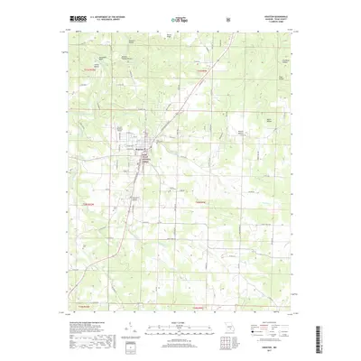
2017 Map of Houston
USGS Topo · Published 2017About this map
Houston serves as the central hub of this Missouri Ozarks landscape, where the plateau terrain is carved by the Big Piney River and its numerous tributaries. The map reveals a community structured around civic and educational life, featuring the Texas County Technical Institute and the Houston Memorial Airport. The surrounding countryside is defined by the deep valleys of the Mark Twain National Forest, with family-named hollows such as Cathcart Hollow and Emery Hollow highlighting the historical settlement patterns of the region. Local genealogy is well-supported by the presence of several established burial grounds, including Pine Lawn Cem and the County Farm Cem. The hydrology of the area is particularly complex, with Indian Cr and Hog Cr winding through the southern reaches, while the Mineral Spring in the north points to the natural resources that historically drew settlers to Texas County.
Find a feature on this map
65 named features on this map. Tap any name to fly to it.
Don’t see what you’re looking for? This feature index may not catch every label — zoom into the map to look around manually.
Map Details
Editions of this 2017 Houston Map
This is the sole edition of this map. No revisions or reprints were ever made.
Other maps of this area

1941 · Bado
USGS Topo · 1:62,500

1943 · Bado
USGS Topo · 1:62,500

1945 · Clear Springs
USGS Topo · 1:62,500

1948 · Clear Springs
USGS Topo · 1:62,500

1949 · Rolla
USGS Topo · 1:250,000

1951 · Licking
USGS Topo · 1:24,000

1951 · Raymondville
USGS Topo · 1:24,000

1951 · Prescott
USGS Topo · 1:24,000

1951 · Houston
USGS Topo · 1:24,000

1951 · Cabool NE
USGS Topo · 1:24,000