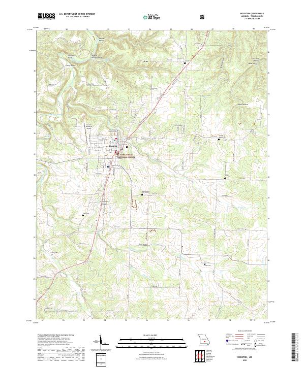
2021 Map of Houston
USGS Topo · Published 2021About this map
The Houston area of Texas County is defined by its position along the meandering Big Piney River, which carves through the landscape to form prominent features like Horseshoe Bend and the McKinney Eddy. This central Missouri geography is characterized by a dense network of drainages such as Brushy Cr, Indian Cr, and Hog Cr, many of which originate in named topographic depressions like Cathcart Hollow and Devils Hollow. As the county seat, the town serves as a regional hub, containing the Texas County Justice Center and the Houston Memorial Airport.
Find a feature on this map
95 named features on this map. Tap any name to fly to it.
Don’t see what you’re looking for? This feature index may not catch every label — zoom into the map to look around manually.
Map Details
Editions of this 2021 Houston Map
This is the sole edition of this map. No revisions or reprints were ever made.
Other maps of this area

1941 · Bado
USGS Topo · 1:62,500

1943 · Bado
USGS Topo · 1:62,500

1945 · Clear Springs
USGS Topo · 1:62,500

1948 · Clear Springs
USGS Topo · 1:62,500

1949 · Rolla
USGS Topo · 1:250,000

1951 · Licking
USGS Topo · 1:24,000

1951 · Raymondville
USGS Topo · 1:24,000

1951 · Prescott
USGS Topo · 1:24,000

1951 · Houston
USGS Topo · 1:24,000

1951 · Cabool NE
USGS Topo · 1:24,000