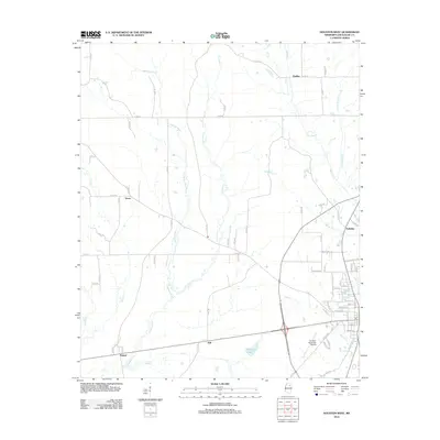
2012 Map of Houston West
USGS Topo · Published 2012About this map
Yalobusha River and its multiple tributaries, including Mud Cr and Fourmile Cr, define the drainage patterns across this section of Chickasaw County. The landscape is marked by small settlements such as Thorn, Thelma, and Pyland, which appear as quiet crossroads within a network of county roads. The southern portion of the map shows the expansion of industrial and transportation infrastructure near the regional hub, including Houston Municipal Airport and a series of named streets like 6th Ave and Industrial Dr.
Find a feature on this map
80 named features on this map. Tap any name to fly to it.
Don’t see what you’re looking for? This feature index may not catch every label — zoom into the map to look around manually.
Map Details
Editions of this 2012 Houston West Map
This is the sole edition of this map. No revisions or reprints were ever made.
Other maps of this area

1953 · West Point
USGS Topo · 1:250,000

1956 · Tupelo
USGS Topo · 1:250,000

1958 · Tupelo
USGS Topo · 1:250,000

1958 · West Point
USGS Topo · 1:250,000

1959 · Van Vleet
USGS Topo · 1:62,500

1963 · West Point
USGS Topo · 1:250,000

1966 · Troy
USGS Topo · 1:24,000

1972 · Houlka
USGS Topo · 1:24,000

1972 · Robbs
USGS Topo · 1:24,000

1972 · Atlanta
USGS Topo · 1:24,000