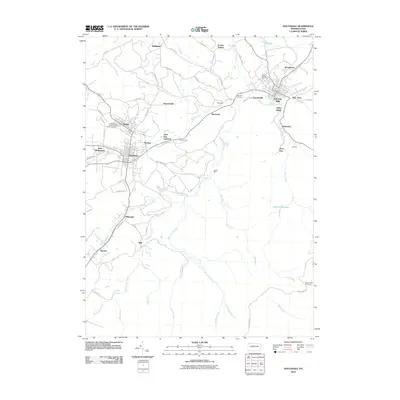
2010 Map of Houtzdale
USGS Topo · Published 2010About this map
Osceola Mills and Houtzdale serve as the primary population centers in this pocket of Clearfield County, where the landscape is defined by the winding course of Moshannon Creek. The region's industrial and social foundations are evident in the numerous small settlements like Beaverton, Earnestville, and Parsonsville that dot the map. These communities grew around the local coal extraction and transport infrastructure, exemplified by the Leslie Mine and transit points like Coal Run Junction and Goss Run Junction. Local history is preserved at the Independent Order of Odd Fellows Cemetery near Brisbin and Saint Joseph Cemetery to the northeast.
Find a feature on this map
63 named features on this map. Tap any name to fly to it.
Don’t see what you’re looking for? This feature index may not catch every label — zoom into the map to look around manually.
Map Details
Editions of this 2010 Houtzdale Map
This is the sole edition of this map. No revisions or reprints were ever made.
Other maps of this area

1903 · Houtzdale
USGS Topo · 1:62,500

1905 · Houtzdale
USGS Topo · 1:62,500

1920 · Altoona
USGS Topo · 1:62,500

1922 · Philipsburg
USGS Topo · 1:62,500

1922 · Altoona
USGS Topo · 1:62,500

1923 · Tyrone
USGS Topo · 1:62,500

1929 · Tyrone
USGS Topo · 1:48,000

1933 · Tyrone
USGS Topo · 1:62,500

1939 · Philipsburg
USGS Topo · 1:62,500

1944 · Houtzdale
USGS Topo · 1:24,000