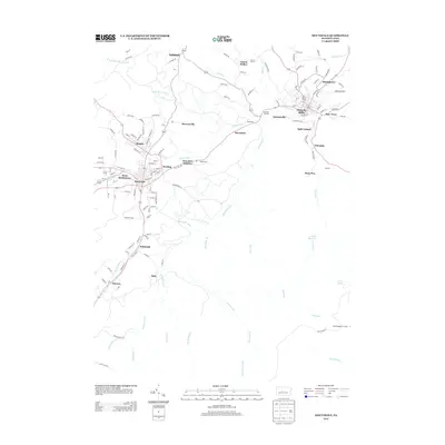
2013 Map of Houtzdale
USGS Topo · Published 2013About this map
Osceola Mills and Houtzdale anchor this map of Clearfield County, Pennsylvania, showing a landscape defined by its industrial and mining heritage. The area is dense with smaller settlements and historic rail connections, notably at Goss Run Junction and Spike Island. The terrain is deeply carved by waterways such as Moshannon Cr and Beaver Run, which dictate the placement of roads and residential clusters.
Find a feature on this map
125 named features on this map. Tap any name to fly to it.
Don’t see what you’re looking for? This feature index may not catch every label — zoom into the map to look around manually.
Map Details
Editions of this 2013 Houtzdale Map
This is the sole edition of this map. No revisions or reprints were ever made.
Other maps of this area

1903 · Houtzdale
USGS Topo · 1:62,500

1905 · Houtzdale
USGS Topo · 1:62,500

1920 · Altoona
USGS Topo · 1:62,500

1922 · Philipsburg
USGS Topo · 1:62,500

1922 · Altoona
USGS Topo · 1:62,500

1923 · Tyrone
USGS Topo · 1:62,500

1929 · Tyrone
USGS Topo · 1:48,000

1933 · Tyrone
USGS Topo · 1:62,500

1939 · Philipsburg
USGS Topo · 1:62,500

1944 · Houtzdale
USGS Topo · 1:24,000