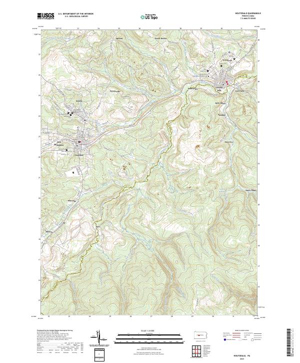
2023 Map of Houtzdale
USGS Topo · Published 2023About this map
Osceola Mills and Houtzdale serve as the primary anchors for this region along the border of Clearfield and Centre Counties. The landscape is defined by the winding course of Moshannon Creek, which carves through the central portion of the sheet. Modern mapping here reveals a dense concentration of smaller communities including Spike Island, Earnestville, Parsonsville, and Whiteside, reflecting the historic coal-mining and industrial heritage of the Moshannon Valley. Significant genealogical value is found in the numerous burial sites across the terrain, including Umbria Cem, Saint Lawrence Cem, and the Nativity of the Virgin Mary Orthodox Cem. The conversion of former industrial corridors is evident in the Houtzdale Line Trail, which follows the old rail grades that once transported coal from the surrounding hills. To the south, the topography rises toward Trim Root Run and Mountain Branch, where the Osceola Reservoir manages the local watershed.
Find a feature on this map
108 named features on this map. Tap any name to fly to it.
Don’t see what you’re looking for? This feature index may not catch every label — zoom into the map to look around manually.
Map Details
Editions of this 2023 Houtzdale Map
This is the sole edition of this map. No revisions or reprints were ever made.
Other maps of this area

1903 · Houtzdale
USGS Topo · 1:62,500

1905 · Houtzdale
USGS Topo · 1:62,500

1920 · Altoona
USGS Topo · 1:62,500

1922 · Philipsburg
USGS Topo · 1:62,500

1922 · Altoona
USGS Topo · 1:62,500

1923 · Tyrone
USGS Topo · 1:62,500

1929 · Tyrone
USGS Topo · 1:48,000

1933 · Tyrone
USGS Topo · 1:62,500

1939 · Philipsburg
USGS Topo · 1:62,500

1944 · Houtzdale
USGS Topo · 1:24,000