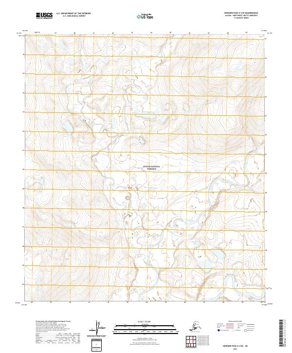
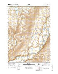
2021 Map of Howard Pass A-4 SE
USGS Topo · Published 2021About this map
Aniuk River meanders through the central and eastern portions of this Alaskan landscape, defining the hydrology of a region where water and topography dictate the movement of any traveler. This area is predominantly managed as part of the Noatak National Preserve, a designation that emphasizes the conservation of its arctic ecosystem. The southeastern corner highlights the specific corridor of the Noatak Wild and Scenic River, protecting the character of this significant drainage. The map provides a high-resolution view of the intricate contour lines and drainage patterns that characterize this portion of the Northwest Arctic Borough, where land divisions such as t31n r4e and t31n r5e overlay a landscape largely untouched by permanent settlement or infrastructure.
Find a feature on this map
12 named features on this map. Tap any name to fly to it.
Don’t see what you’re looking for? This feature index may not catch every label — zoom into the map to look around manually.
Map Details
Editions of this 2021 Howard Pass A-4 SE Map
This is the sole edition of this map. No revisions or reprints were ever made.
Other maps of this area

1951 · Howard Pass
USGS Topo · 1:250,000

1951 · Ambler River
USGS Topo · 1:250,000

1956 · Howard Pass
USGS Topo · 1:250,000

1956 · Ambler River
USGS Topo · 1:250,000

1964 · Ambler River
USGS Topo · 1:250,000

1984 · Howard Pass A-3
USGS Topo · 1:63,360
1990 · Ambler River D-4
USGS Topo · 1:63,360
1990 · Howard Pass A-4
USGS Topo · 1:63,360
1990 · Ambler River D-5
USGS Topo · 1:63,360
2015 · Ambler River D-5 NE
USGS Topo · 1:25,000