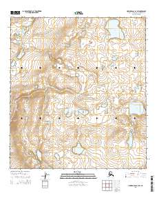
2015 Map of Howard Pass A-4 SW
USGS Topo · Published 2015About this map
Noatak National Preserve encompasses the central landscape of this 2015 survey, protecting an area where the Arctic tundra meets complex topographic drainage patterns. The interior is defined by glacial features and thermokarst formations, most notably at Navashak Lake in the northeast and Sikik Lake further south. These bodies of water, along with the headwaters of Makpik Cr, illustrate the hydrology of the Northwest Arctic Borough in a region defined by its isolation from modern infrastructure. The map provides a precise look at the township and range divisions within this protected wilderness, tracking the subtle elevation changes and lake systems that characterize this part of the Howard Pass quadrangle.
Find a feature on this map
10 named features on this map. Tap any name to fly to it.
Don’t see what you’re looking for? This feature index may not catch every label — zoom into the map to look around manually.
Map Details
Editions of this 2015 Howard Pass A-4 SW Map
This is the sole edition of this map. No revisions or reprints were ever made.
Other maps of this area

1951 · Howard Pass
USGS Topo · 1:250,000

1951 · Ambler River
USGS Topo · 1:250,000

1956 · Howard Pass
USGS Topo · 1:250,000

1956 · Ambler River
USGS Topo · 1:250,000

1964 · Ambler River
USGS Topo · 1:250,000
1990 · Howard Pass A-4
USGS Topo · 1:63,360
1990 · Howard Pass A-5
USGS Topo · 1:63,360
1990 · Ambler River D-5
USGS Topo · 1:63,360
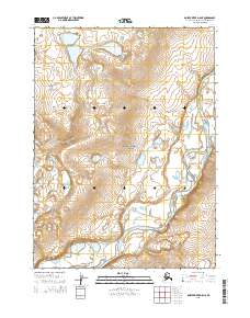
2015 · Ambler River D-5 NE
USGS Topo · 1:25,000
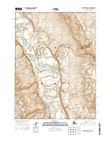
2015 · Ambler River D-5 NW
USGS Topo · 1:25,000