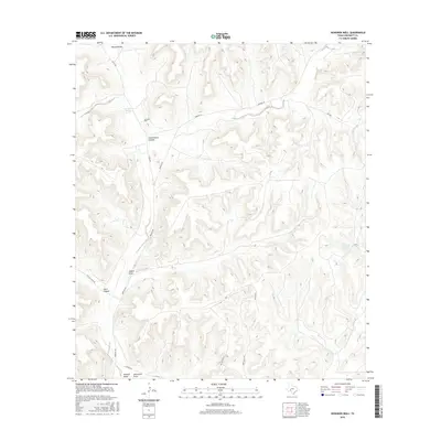
2016 Map of Howards Well
USGS Topo · Published 2016About this map
Howards Well and the nearby Howard Springs are central landmarks in this high-desert landscape of Crockett County. The topography is defined by deeply incised drainage systems, including Howard Draw, Sowell Draw, and Sevenmile Draw, which cut through the limestone plateaus. These water sources were historically vital in this arid region, as evidenced by the naming of Government Water Hole Spring in the eastern portion of the map.
Find a feature on this map
17 named features on this map. Tap any name to fly to it.
Don’t see what you’re looking for? This feature index may not catch every label — zoom into the map to look around manually.
Map Details
Editions of this 2016 Howards Well Map
This is the sole edition of this map. No revisions or reprints were ever made.
Other maps of this area

1929 · Sheffield
USGS Topo · 1:125,000

1954 · Sonora
USGS Topo · 1:250,000

1958 · Sonora
USGS Topo · 1:250,000

1967 · Burnt Canyon
USGS Topo · 1:24,000

1967 · Hunt Ranch
USGS Topo · 1:24,000

1967 · Mitchell Canyon
USGS Topo · 1:24,000

1970 · Howards Well NE
USGS Topo · 1:24,000

1970 · Antone Canyon
USGS Topo · 1:24,000

1970 · Aermotor Draw
USGS Topo · 1:24,000

1970 · Howards Well
USGS Topo · 1:24,000