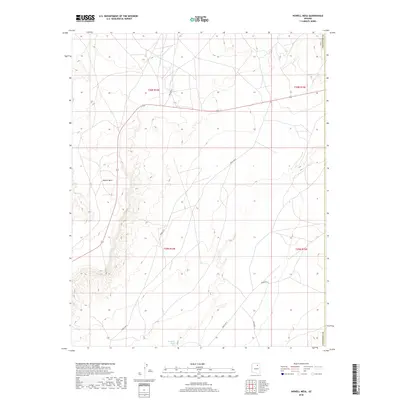
2018 Map of Howell Mesa
USGS Topo · Published 2018About this map
Howell Mesa dominates the western portion of this high-desert landscape in northern Arizona, its steep eastern escarpment dropping away into the broad valley of Dinnebito Wash. This 2018 survey documents a remote section of the Navajo Nation within Coconino County, where the geography is defined by long-established transit corridors and significant elevation changes. A network of arterial roads, including Indian Rte 7 and Indian Rte 3, crisscrosses the plateau and valley floors, following the natural contours of the terrain. The map provides a detailed view of the modern land management and township structure, including t30n r14e and t29n r14e, illustrating how traditional transportation routes continue to serve this high-plateau region.
Find a feature on this map
11 named features on this map. Tap any name to fly to it.
Don’t see what you’re looking for? This feature index may not catch every label — zoom into the map to look around manually.
Map Details
Editions of this 2018 Howell Mesa Map
This is the sole edition of this map. No revisions or reprints were ever made.
Other maps of this area

1883 · Marsh Pass
USGS Topo · 1:250,000

1883 · Tusayan
USGS Topo · 1:250,000

1886 · Tusayan
USGS Topo · 1:250,000

1892 · Marsh Pass
USGS Topo · 1:250,000

1947 · Flagstaff
USGS Topo · 1:250,000

1954 · Flagstaff
USGS Topo · 1:250,000

1956 · Marble Canyon
USGS Topo · 1:250,000

1958 · Flagstaff
USGS Topo · 1:250,000

1959 · Marble Canyon
USGS Topo · 1:250,000

1960 · Flagstaff
USGS Topo · 1:250,000