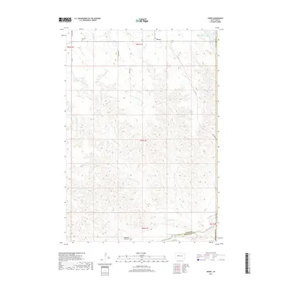
2017 Map of Howes
USGS Topo · Published 2017About this map
Howes stands as a focal point in this portion of Meade County, where the high plains transition into the breaks of the Cheyenne River. The landscape is defined by an intricate network of drainage systems, including Narcelle Cr, Negro Cr, and the colorfully named Whimmer Whammer Draw, which carve through the terrain toward the river boundary. This 2017 survey shows a region largely dedicated to ranching and grazing, as evidenced by Howes Grazing Lake and the various county roads like Narcelle Rd and Delbridge Rd that navigate the section lines. Near the community of Howes, the Plainview Cem serves as a significant landmark for local family history, while the southern edge of the sheet follows the administrative line between Meade and Pennington counties. The map illustrates the persistent geography of Western South Dakota, where water sources like Timber Cr and Ash Cr remain the primary anchors for settlement and activity.
Find a feature on this map
27 named features on this map. Tap any name to fly to it.
Don’t see what you’re looking for? This feature index may not catch every label — zoom into the map to look around manually.
Map Details
Editions of this 2017 Howes Map
This is the sole edition of this map. No revisions or reprints were ever made.
Other maps of this area

1953 · Rapid City
USGS Topo · 1:250,000

1954 · Pierre
USGS Topo · 1:250,000

1955 · Bridger
USGS Topo · 1:24,000

1955 · Pedro
USGS Topo · 1:24,000

1955 · Pedro NW
USGS Topo · 1:24,000

1955 · Howes
USGS Topo · 1:24,000

1955 · Hilland NW
USGS Topo · 1:24,000

1957 · Rapid City
USGS Topo · 1:250,000

1958 · Pierre
USGS Topo · 1:250,000

1982 · Dead Horse Draw
USGS Topo · 1:24,000