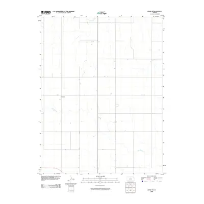
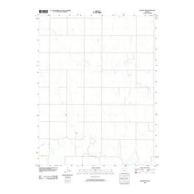
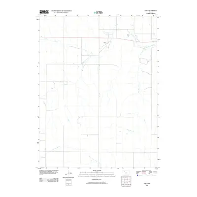
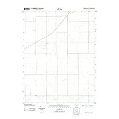
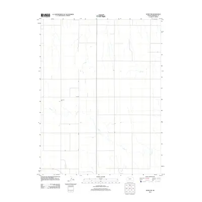
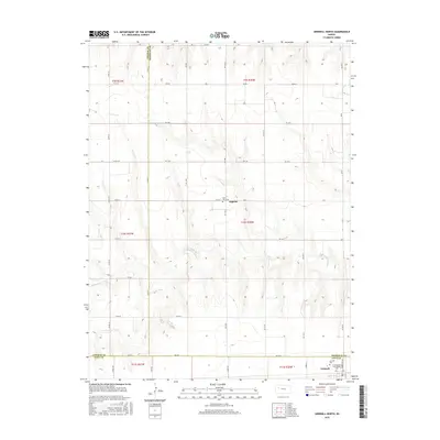
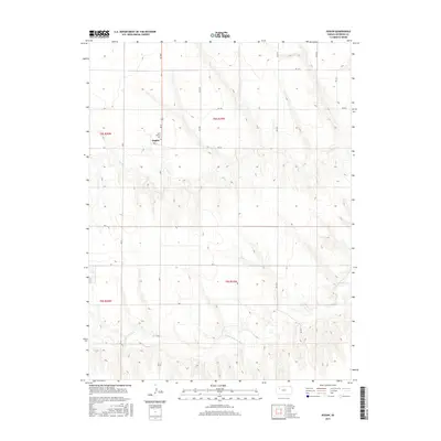
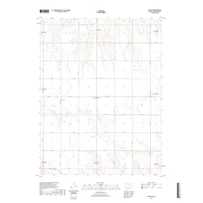
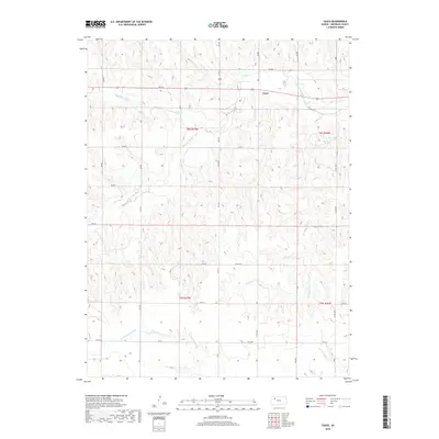
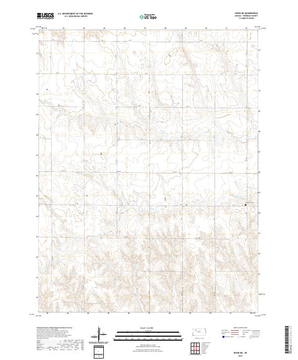
1979 Map of Hoxie NE
USGS Topo · Published 1979About this map
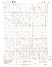
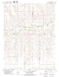
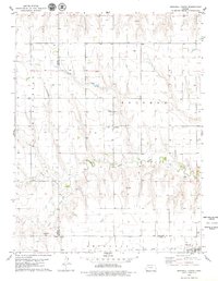
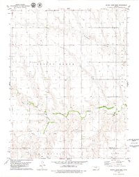
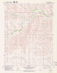
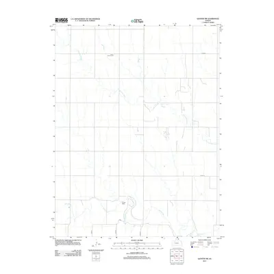
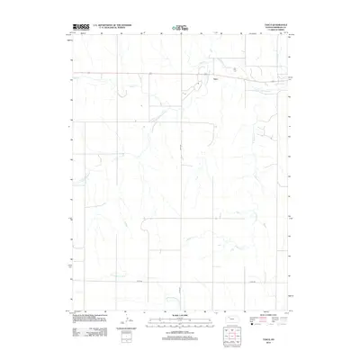
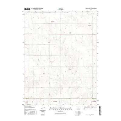
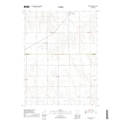
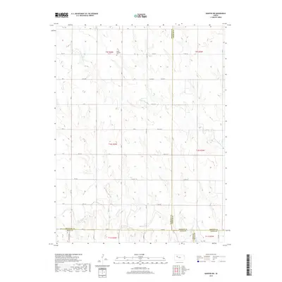
Bow Creek Valley dominates the topography of this Sheridan County landscape, where the meandering course of Bow Creek and its tributary, South Fork Bow Creek, have carved distinct drainage patterns into the high plains. In the late 1970s, this area was defined by a sparse, rural grid of section lines across the townships of Union and Adell. Human activity is marked by dispersed infrastructure, including several locations labeled as Well and intermittent Sandpit operations near the creek beds. A significant point of interest for genealogists and local historians is the Bow Creek Cem located in the eastern portion of the map. The drainage of Holly Creek also appears in the south, illustrating the water-dependent settlement patterns typical of this portion of Kansas.
Find a feature on this map
12 named features on this map. Tap any name to fly to it.
Don’t see what you’re looking for? This feature index may not catch every label — zoom into the map to look around manually.
Map Details
Editions of this 1979 Hoxie NE Map
This is the sole edition of this map. No revisions or reprints were ever made.
Historical Maps of Sheridan County Through Time
84 maps found
1978 Clayton SW
Sheridan County, KS
1978 Dresden South
Sheridan County, KS
1979 Grinnell NE
Sheridan County, KS
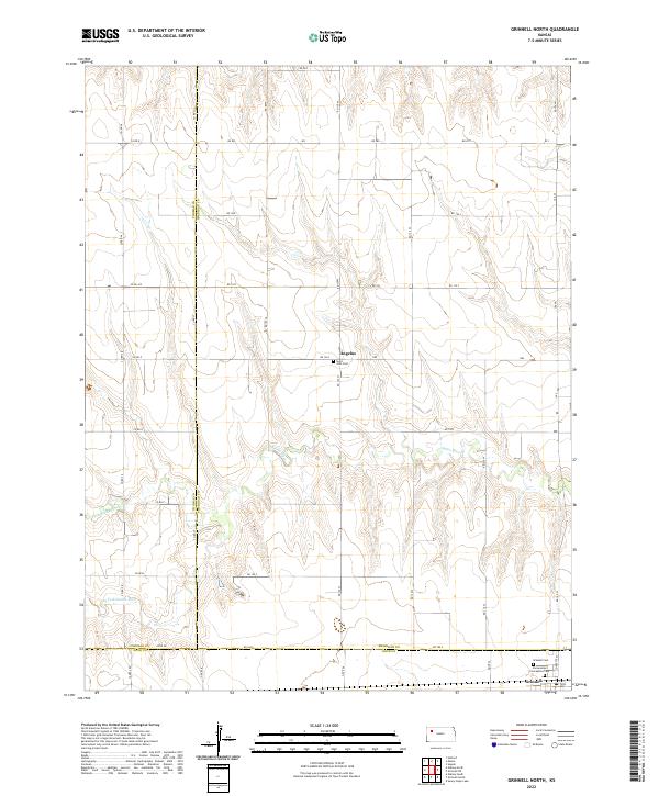
1979 Grinnell North
Sheridan County, KS
1979 Hoxie NE
Sheridan County, KS
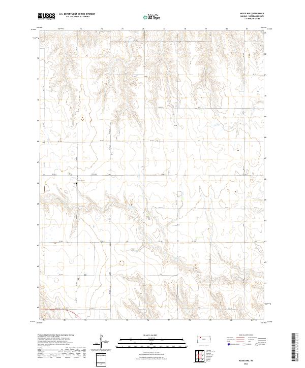
1979 Hoxie NW
Sheridan County, KS
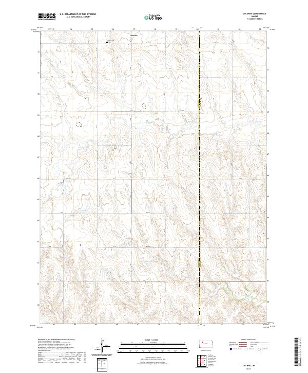
1979 Lucerne
Sheridan County, KS
1979 Midway Draw East
Sheridan County, KS
1979 Midway Draw West
Sheridan County, KS
1979 Quinter NW
Sheridan County, KS
1979 Rexford NE
Sheridan County, KS
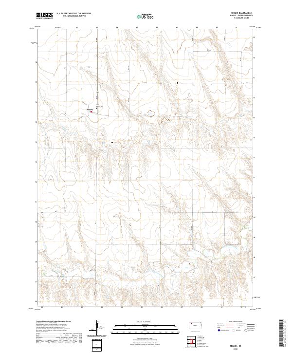
1979 Seguin
Sheridan County, KS

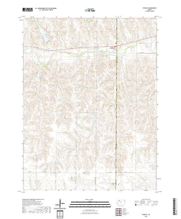
1979 Studley
Sheridan County, KS
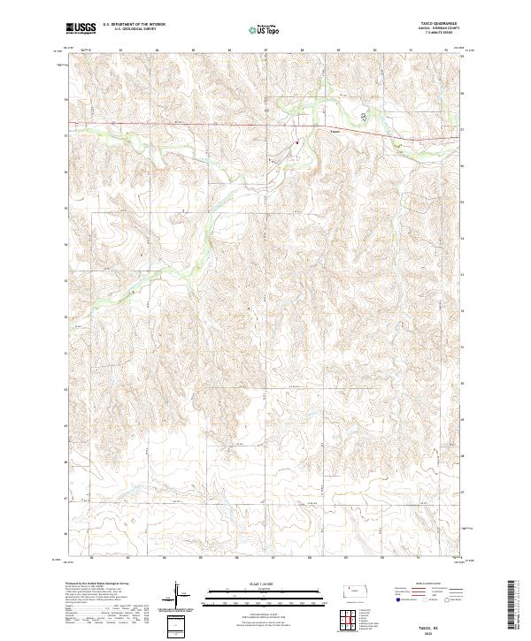
1979 Tasco
Sheridan County, KS
2009 Clayton SW
Sheridan County, KS
2009 Dresden South
Sheridan County, KS
2009 Hoxie NE
Sheridan County, KS
2009 Hoxie NW
Sheridan County, KS
2009 Lucerne
Sheridan County, KS
2009 Midway Draw East
Sheridan County, KS
2009 Midway Draw West
Sheridan County, KS
2009 Quinter NW
Sheridan County, KS
2009 Rexford NE
Sheridan County, KS
2009 Seguin
Sheridan County, KS
2009 Studley
Sheridan County, KS
2009 Tasco
Sheridan County, KS
2010 Grinnell NE
Sheridan County, KS
2010 Grinnell North
Sheridan County, KS
2012 Clayton SW
Sheridan County, KS
2012 Dresden South
Sheridan County, KS
2012 Grinnell NE
Sheridan County, KS
2012 Grinnell North
Sheridan County, KS
2012 Hoxie NE
Sheridan County, KS
2012 Hoxie NW
Sheridan County, KS
2012 Lucerne
Sheridan County, KS
2012 Midway Draw East
Sheridan County, KS
2012 Midway Draw West
Sheridan County, KS
2012 Quinter NW
Sheridan County, KS
2012 Rexford NE
Sheridan County, KS
2012 Seguin
Sheridan County, KS
2012 Studley
Sheridan County, KS
2012 Tasco
Sheridan County, KS
2015 Clayton SW
Sheridan County, KS
2015 Dresden South
Sheridan County, KS
2015 Grinnell NE
Sheridan County, KS
2015 Grinnell North
Sheridan County, KS
2015 Hoxie NE
Sheridan County, KS
2015 Hoxie NW
Sheridan County, KS
2015 Lucerne
Sheridan County, KS
2015 Midway Draw East
Sheridan County, KS
2015 Midway Draw West
Sheridan County, KS
2015 Quinter NW
Sheridan County, KS
2015 Rexford NE
Sheridan County, KS
2015 Seguin
Sheridan County, KS
2015 Studley
Sheridan County, KS
2015 Tasco
Sheridan County, KS
2018 Clayton SW
Sheridan County, KS
2018 Dresden South
Sheridan County, KS
2018 Grinnell NE
Sheridan County, KS
2018 Grinnell North
Sheridan County, KS
2018 Hoxie NE
Sheridan County, KS
2018 Hoxie NW
Sheridan County, KS
2018 Lucerne
Sheridan County, KS
2018 Midway Draw East
Sheridan County, KS
2018 Midway Draw West
Sheridan County, KS
2018 Quinter NW
Sheridan County, KS
2018 Rexford NE
Sheridan County, KS
2018 Seguin
Sheridan County, KS
2018 Studley
Sheridan County, KS
2018 Tasco
Sheridan County, KS
2022 Clayton SW
Sheridan County, KS
2022 Dresden South
Sheridan County, KS
2022 Grinnell NE
Sheridan County, KS
2022 Grinnell North
Sheridan County, KS
2022 Hoxie NE
Sheridan County, KS
2022 Hoxie NW
Sheridan County, KS
2022 Lucerne
Sheridan County, KS
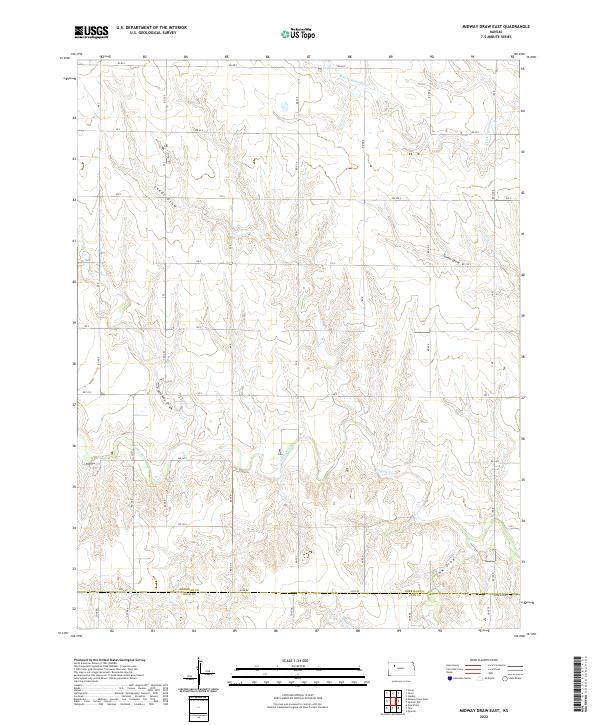
2022 Midway Draw East
Sheridan County, KS
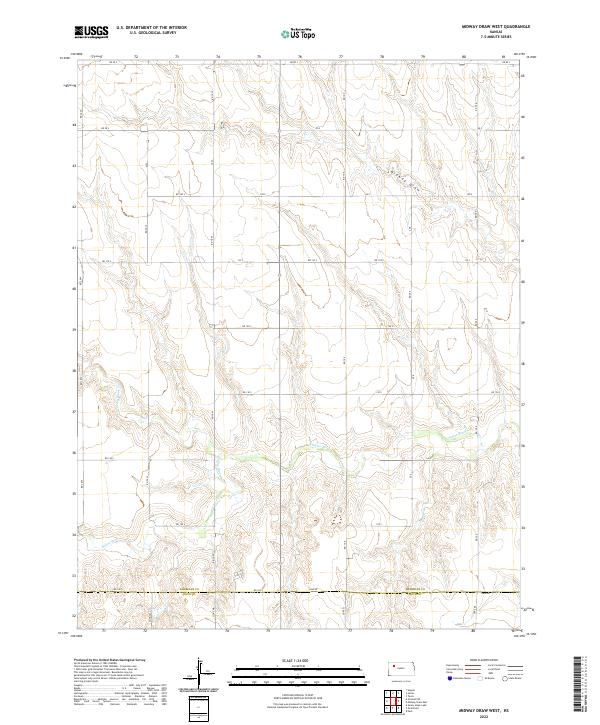
2022 Midway Draw West
Sheridan County, KS
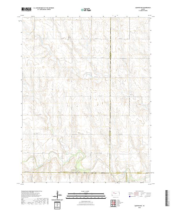
2022 Quinter NW
Sheridan County, KS
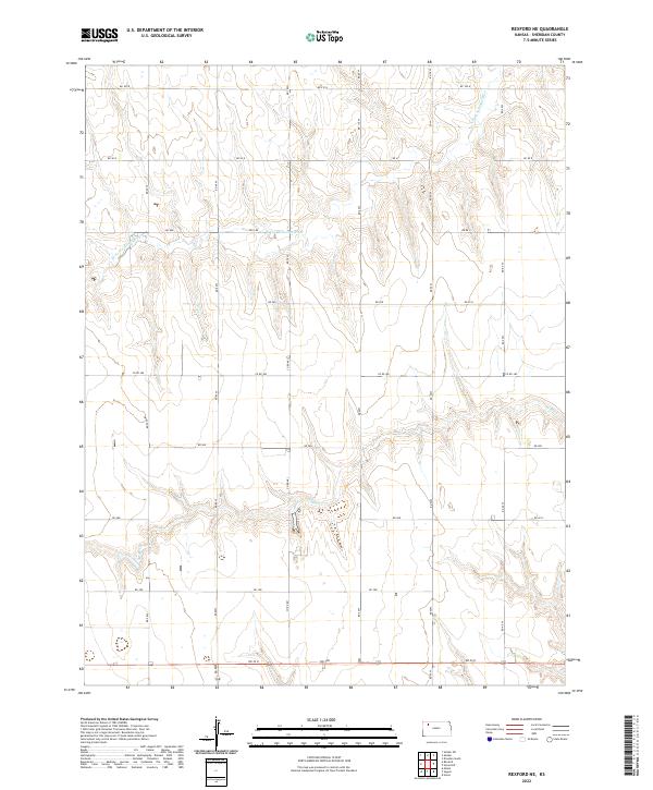
2022 Rexford NE
Sheridan County, KS
2022 Seguin
Sheridan County, KS
2022 Studley
Sheridan County, KS
2022 Tasco
Sheridan County, KS